Clouds are hanging tough over Cleveland early Thursday, April 16, with temperatures near 68°F and plenty of leftover humidity from the mild night. Spotty morning showers are just the warm‑up act for a more robust round of thunderstorms expected during the hottest part of the day.
Afternoon Storms And Gusty Winds
Highs should climb to around 75°F Thursday, with showers and thunderstorms likely through the afternoon before temperatures slide back into the upper 60s by late day. Southwest winds around 10–15 mph will kick up gusts near 25 mph, and the stronger storms could squeeze out a quarter to a half inch of rain in a few locations.
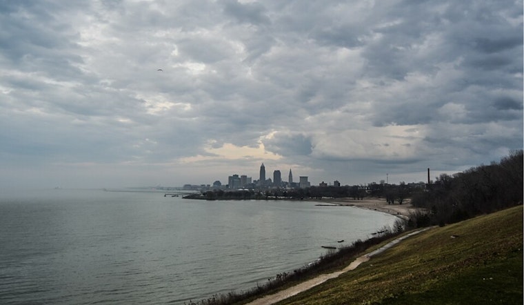
The National Weather Service has placed areas along the Lake Erie shoreline and east of Interstate 71 under a Marginal Risk for severe weather, meaning a few storms could produce damaging wind gusts, hail, or even a brief tornado, though coverage is expected to stay limited. A Flood Watch that had been in effect was canceled a few hours early, yet localized downpours may still gum up the evening drive, according to the National Weather Service.
Where The Risk Is Strongest
The higher risk zones are mainly across the eastern half of the metro and communities hugging Lake Erie, while the western suburbs sit in a lower‑end threat area. If you live east of I‑71 or plan to spend time along the lakeshore, keep an indoor backup plan and be ready to head inside quickly if storms start rolling in.
Weekend Shift And What To Plan
Another frontal system arrives Saturday and looks a bit more feisty, with stronger southwest gusts that could reach 30–40 mph and another round of showers and thunderstorms that may turn strong to severe in spots. Behind that, temperatures take a decided tumble Sunday into Monday, with highs only in the 40s and lows dipping to near or below freezing Sunday night. Sensitive plants could be looking at frost or even a hard freeze. For earlier background on how this wind setup has been building, see our April 13 story warm winds whipping Cleveland.
What To Do Now
Tie down or bring in outdoor furniture and any loose items, keep an eye on live radar or local alerts, and steer clear of driving through standing water. It is also a good day to top off your phone battery and nudge any outdoor plans into the morning or move them indoors for this afternoon and evening.


.jpg)