Wednesday, April 15, 2026, is serving up a classic New England bait-and-switch. Boston woke up mild at Logan, with mid-60s readings and partly cloudy skies this morning. Highs are expected near 65°F in the city, with inland neighborhoods running warmer and the immediate coast hanging noticeably cooler. A weak disturbance and a backdoor front will slide in later, bringing a chance of showers by late afternoon, with scattered showers and a few thunderstorms more likely tonight. Patchy fog near the harbor may slow the morning commute in low-lying spots.
Afternoon And Evening Showers
Partly sunny skies should hold through mid-afternoon, so most of the workday and school day look fine outside. After about 4 p.m., the chance of rain showers starts to climb. The best shot at showers and a few thunderstorms comes between roughly 8 and 9 p.m., especially west and south of Boston. Any storms that pop up are expected to be scattered, with the potential for locally heavy downpours and lightning, but overall coverage looks limited and new rainfall amounts should generally stay under a quarter inch. Highs will top out near 65°F in the city, with warmer readings inland and cooler temps right along the waterfront. These details are from the NWS Boston/Norton forecast.
What This Means For Events And The Commute
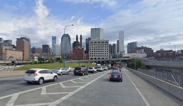
Today is One Boston Day, which means extra activity downtown along with parking restrictions and no-stopping zones. Patchy morning fog and those late-day showers could complicate surface traffic and outdoor events, especially for anyone trying to squeeze in plans after work before the showers arrive. Check Boston.gov for closures and parking rules before you head out, and give yourself extra time if you are crossing bridges or heading near Logan. Transit riders should keep an eye on service alerts and build in a little cushion for slow spots near the harbor.
Morning Fog And Coastal Conditions
Patchy fog may linger through the morning around the waterfront and harbor approaches, cutting visibility on bridges and at ferry landings. Small craft headlines were scheduled to end this morning as seas ease back to about 2 to 4 ft, although southerly gusts offshore could briefly approach 20 knots, about 23 mph, so boaters are better off favoring sheltered harbors. If you have evening plans outside, plan for brief, scattered downpours and lightning after dark rather than a long, steady soaking rain.
Bottom line: bring a compact umbrella for later, a light jacket near the water, and expect markedly warmer readings as you move away from the coast. Updates will go out if any watches or warnings are issued overnight.


