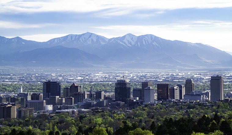
Salt Lake City rolled into Thursday, April 30, under clear skies and a brisk start, with the airport clocking in around 43°F before sunrise. The chill will not last for long. By afternoon, temperatures should rebound into the low to mid 60s, just as a slight chance of spotty showers and isolated thunderstorms pops up after noon. Any storms that do develop are expected to be high-based and short-lived, more likely to stir up sudden, erratic gusts than to deliver a soaking.
Afternoon Thunder Risk East of I-15
Forecasters see a small chance, around 20%, of showers and isolated thunderstorms Thursday afternoon, April 30, mainly east of I-15. According to the National Weather Service Salt Lake City, these will likely be high-based cells that produce little measurable rain but can kick out gusty, erratic outflow winds near the stronger storms. If you are heading into the canyons for a hike or a quick drive, plan for brief but abrupt gusts and conditions that can flip from calm to choppy in a hurry.
Thursday Night Canyon Gusts Possible
Late Thursday into early Friday, a stronger easterly flow could crank up canyon winds along the northern Wasatch Front, with gusts potentially reaching about 40 mph. A more classic downslope wind event is not expected, and the odds of peak gusts topping 40 mph are low, roughly 10% or less. Even so, sudden gusts can still catch canyon drivers off guard and send unsecured patio gear tumbling. It is a good night to strap down loose outdoor furniture and give yourself extra time if your commute runs through the canyons overnight.
Weekend Warmup
High pressure builds in on Friday, May 1, and should park over the region through the weekend, setting up a steady warmup with mostly dry weather. Highs will climb to around 67°F on Friday, then rise to about 75°F on Saturday, May 2, and push into the upper 70s by Sunday, May 3. Looking beyond the weekend, forecasters note that the pattern appears to turn more unsettled again by Monday, so this stretch of calmer, warmer weather may be brief.
What To Do
For Thursday, a light jacket will help with the chilly morning, and tying down or bringing in loose outdoor items before the nighttime canyon breeze picks up is a smart move. If you have canyon travel planned, especially overnight, check road and weather updates and be ready for gusty spots. Some colder rural valleys could still flirt with freezing, at or just below 32°F, on Thursday and Friday mornings, so gardeners outside the urban core may want to shield sensitive plants. For a recent reminder of how fast spring can swing in northern Utah, see this recap of the region’s freeze warning to T-shirt weather whiplash, as per Hoodline.


