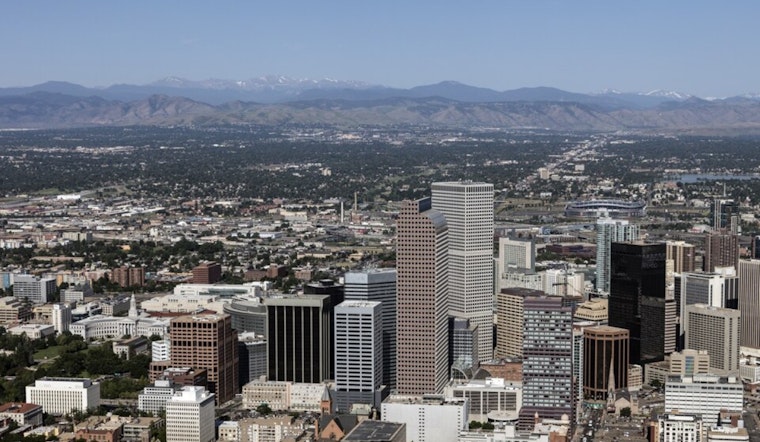
Denver woke up clear and in the mid-40s this morning, but it will feel like a different season by this afternoon. The metro is set to rocket into the upper 70s on Thursday, April 16, before winds crank up and a strong cold front barges in late Thursday into Friday.
South to southwest winds will increase this afternoon with sustained speeds of 7 to 16 mph and gusts into the mid 20s across the plains. That warm and dry combo means a higher wildfire risk for the southern foothills and southeast suburbs ahead of the late week cooldown.
Afternoon Winds and Fire Risk
A Red Flag Warning is in effect from 11 a.m. to 9 p.m. Thursday for the southern foothills, the Palmer Divide and areas east of the urban corridor. Low humidity and gusty winds could help any spark turn into a fast-moving fire.
The National Weather Service is urging people to skip outdoor burning, avoid activities that could throw sparks and secure yard debris and loose equipment that might blow around. Gusts into the mid-20s are possible in more exposed spots. For full details on the warning area and timing, see the NWS Denver/Boulder.
Late Week Cold Front and Freeze Watch
A sharp cold front will push through late Thursday into Friday and slam the brakes on the warmth. Highs on Friday, April 17, are expected to drop into the low 40s, with rain changing over to snow at times.
Snow accumulations across the urban plains should stay on the lighter side, mostly from a trace to a couple of inches. The foothills and mountains, however, could pick up higher totals where narrow snow bands set up.
Temperatures will tumble Friday night, and a Freeze Watch is posted for Friday evening through Saturday morning. Newly budded plants and exposed irrigation lines are at risk of damage if they are not protected ahead of time.
What To Do
Gardeners and homeowners should move fast before the front arrives. Protect tender landscaping by disconnecting garden hoses, draining above-ground irrigation lines and bringing potted plants inside where you can.
Travelers should be ready for a quick flip from mild to wintry conditions Friday evening, especially in higher elevations and on open stretches of road. Watch for slick spots on bridges and overpasses once temperatures drop below freezing.
Keep checking official updates from the National Weather Service, since the exact timing of the front and the placement of the heaviest snow bands can still shift.
We first flagged this wild warm-to-cold swing on April 15. For more background on the setup, read our wild week forecast, as per Hoodline. This story updates that coverage with the Red Flag Warning and Freeze Watch now in effect.


