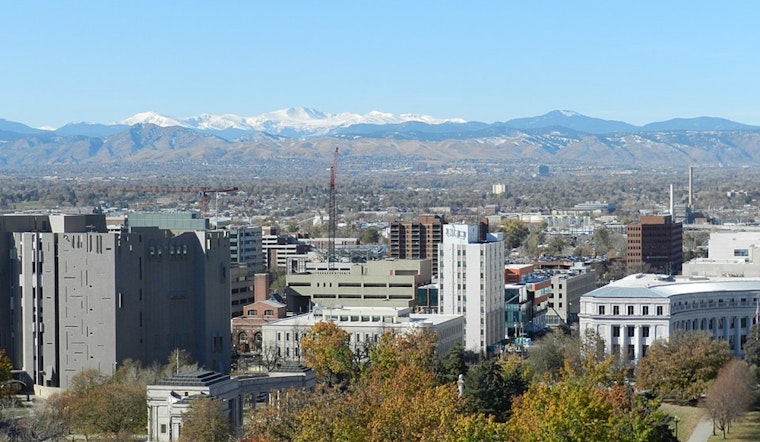
Denver woke up on the chilly side Sunday, with clear skies and temperatures hovering near 39°F at metro-area stations as of 5:35 a.m. MDT. That cool start will not last. Sunshine takes over today with a high near 72°F, and a rapid warm-up will send highs into the low- to mid-80s by Tuesday and Wednesday. Combine that with dry nights and strengthening southwest winds later in the week, and the setup is in place for elevated fire concerns across the plains and foothills.
What To Expect This Week
Sunday stays sunny and tranquil, with light east-southeast breezes around 2 to 8 mph and an overnight low dipping into the low 40s. Monday brings more of the same, mostly sunny skies and a high near 79°F. By Tuesday and Wednesday, it turns noticeably hotter, with highs around 83°F across much of the metro. Nights will cool off but not dramatically, so plan on a run of warm afternoons paired with cooler early mornings through midweek.
Fire Weather Risks Wednesday
According to the National Weather Service in Denver/Boulder, "elevated to critical fire weather conditions" are expected on Wednesday and possibly into Thursday as relative humidity drops and southwest winds pick up. Forecast graphics and discussions point to a high probability of humidity falling into the teens or even single digits at times, with gusts that could top 25 mph. That combination raises the risk of rapid fire spread if a new ignition occurs. Residents in the eastern metro and foothills should brace for gusty, dry afternoons in the middle of the week.
How To Prep Locally
With fuels already dry across much of the plains, officials recommend skipping open burning and postponing any spark-producing yard work on Wednesday and Thursday. The City and County of Denver bans open burning inside city limits, so residents should stick with alternatives and double-check local restrictions before lighting fire pits or starting pile burns. It is also a good idea to secure loose patio furniture, keep a hose or extinguisher handy, and consider shifting outdoor plans to earlier in the day.
Late Week Shift: Showers Return
Guidance is trending toward a Pacific system arriving Thursday that will knock temperatures back into the upper 60s and introduce a chance of afternoon showers. Odds improve for rain and mountain snow Thursday night into Friday. Model timing still varies, so there is some uncertainty late in the week. Keep an eye on updates if you have events or travel plans.
This update follows coverage of the same pattern on April 6, for background, see midweek fire fears. Conditions have trended warmer since that piece, and the NWS forecast discussion has continued to highlight the increasing fire-weather threat for midweek.
Bottom Line
Expect a sunny, mild Sunday with highs near 72°F, then a strong warm-up into the 80s by midweek, along with elevated to critical fire weather Wednesday into Thursday. Check the latest forecasts before lighting any fires or tackling spark-heavy yard work, and follow local restrictions.


.jpg)