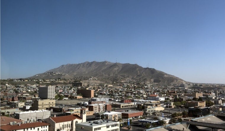
Monday, April 27, started crisp and quiet in El Paso, with mostly clear, very dry skies and temperatures around 61°F at El Paso International Airport. By afternoon, those calm vibes give way to a warm-up into the mid-80s and a noticeable pickup in west winds. After sunset, the breeze backs off, and overnight lows should dip into the upper 50s.
Afternoon Heat And Dusty Gusts
Expect a high near 84°F this afternoon (Monday, April 27) with west winds of 6 to 15 mph and gusts up to about 21 mph. Those gusts can stir up patchy dust in exposed desert corridors, making things tricky for high-profile vehicles during late-day errands and school pickups. Tie down loose patio furniture and give yourself a little extra drive time, according to the National Weather Service El Paso office.
Fire Danger In The Nearby Mountains
A Red Flag Warning is in effect from 10 AM to 8 PM MDT today (Monday, April 27) for the Capitan and Sacramento Mountains and the Lincoln National Forest because very low humidity and gusty winds are lining up for rapid fire spread. Campers, trail users, and anyone working in the foothills should skip open burning and go extra easy with anything that can spark. Forecasters say the region stays unusually dry through Wednesday before a pattern shift late in the week. Details are in the NWS forecast discussion.
Late Week Rain Chances Try A Comeback
A slow-moving low near the Baja and Southern California coast may shove some moisture into the Desert Southwest late Thursday into Friday (April 30–May 1), bringing a chance of showers and isolated thunderstorms. Timing and coverage are still a question mark, so if you are planning outdoor events on Friday, line up a backup plan and check for updates before heading out. Temperatures should cool a few degrees while precipitation is possible, according to the National Weather Service El Paso office.


