Boston woke up under a low gray lid Sunday, April 5, with light rain and dense fog hanging over the city. Logan (KBOS) is starting the day around 39°F, with visibility occasionally tightening to about 2 miles. The fog should gradually lift later this morning, but the trade-off is a wet, breezy afternoon, with widespread showers, a chance of thunderstorms, highs near 58°F, and localized rainfall totals between a quarter and a half inch, as per the National Weather Service Boston/Norton.
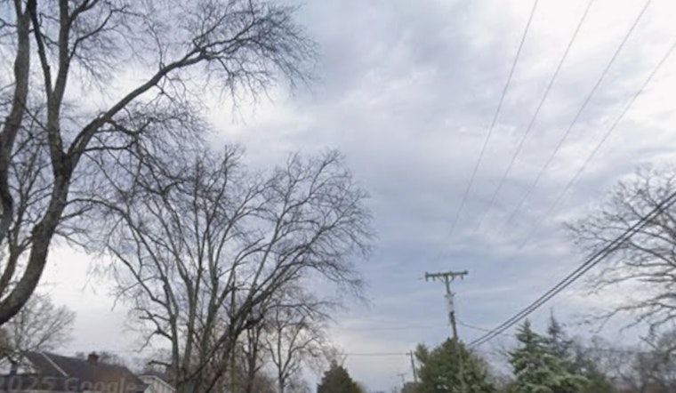
Foggy Morning Commute
The early-morning drive is a patchwork of pea-soup spots and clearer stretches, especially in low-lying neighborhoods and along the waterfront. Drivers should stick with low-beam headlights, slow it down, and pad in extra travel time. MBTA riders may want to peek at real-time alerts before heading out, since standing water and gusty crosswinds can nudge trains and buses off schedule.
Afternoon Showers And Gusty Winds
Showers are expected to fill in from midday through the afternoon, with an elevated shot at thunderstorms and brief heavy downpours between about 1 p.m. and 5 p.m. Sunday. South winds will generally run about 8 to 14 mph inland, but they will kick up more along exposed coastal areas and the Cape, where gusts could hit 35 mph, according to the National Weather Service Boston/Norton.
Marine And Coastal Impacts
Out on the water, it is a choppy, low-visibility kind of afternoon. Small Craft Advisories are posted for many nearshore and offshore waters through this evening and into Monday, with locally higher gusts possible. Anyone planning time on the harbor or around the Cape might want to reshuffle plans, and unsecured gear on docks or along the shoreline could get tossed around in the stronger gusts.
Heading Into Next Week
The cold front responsible for the mess slides offshore tonight, opening the door to clearing skies and colder air. Lows drop into the 30s, and Monday turns blustery, with west winds gusting into the 20s and 30s. There is a slight chance of a rain-snow mix Monday night into Tuesday over higher terrain, followed by a trend toward mainly drier and warmer weather later in the week. That warming turn was flagged in earlier coverage, including our look at how Boston could bake at lunch, then get soaked tonight.
Bottom line: expect low visibility early and a soggy, breezy afternoon, so keep an umbrella handy, ease off the gas on wet roads, and secure loose outdoor items if you are near the coast. If you have evening plans, keep an eye on updates, as the National Weather Service and transit agencies will adjust guidance as conditions evolve.


