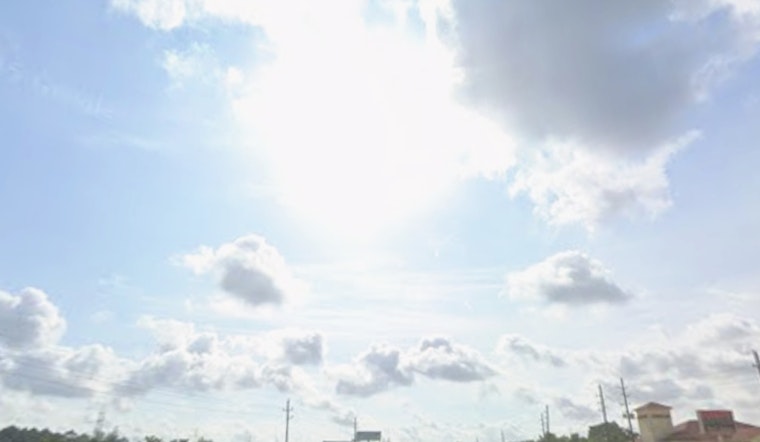
Honolulu woke up to mostly clear skies Friday, with temperatures starting out in the low 70s and a warm day already lining up. Highs are expected to reach near 83F, with a steady northeast breeze that will strengthen through the afternoon. A few isolated windward showers could pop up tonight and into Saturday, but rainfall totals are expected to stay light.
Afternoon Winds Pick Up
Northeast winds are set to ramp up this afternoon, with gusts likely in the upper teens at exposed spots and along ridgelines. The breeze will make the air feel a bit drier and may be strong enough to toss around lightweight outdoor furniture or beach umbrellas. Drivers on exposed highways and cyclists on ridge routes should be ready for stronger gusts and think about an alternate path if conditions start to look rough.
Showers, Swells and This Weekend
Forecasters expect northeast winds generally in the 9 to 17 mph range this weekend, with gusts that could reach the upper teens to low 20s. Some runs show gusts up to about 24 mph by midweek. Highs near 83F and overnight lows around 72 to 73F are in the forecast, and rainfall chances stay low at roughly 10 to 20% for isolated windward showers Friday night and Saturday morning. Small north-northwest swells are expected to arrive Friday night and should keep north-facing breaks around average. No watches or warnings are in effect, according to the National Weather Service in Honolulu.
What To Pack And Who Should Be Careful
A light windbreaker is a good call if you plan to be on the water or at the shore, and it is worth securing loose patio furniture, since beach umbrellas and pop-up tents may not be reliable in the gusts. Boaters should expect choppier conditions on east-facing waters during the stronger winds, and pilots can expect mostly VFR conditions with brief visibility reductions over windward and mauka areas. Otherwise, the setup looks friendly for most outdoor plans to stay warm and dry through the weekend.


