New Orleans is waking up to clear skies on Wednesday, April 8, 2026, with temperatures sitting near 66°F at the KNEW observation site. By this afternoon, the metro area and lakefront should climb to a comfortable high near 76°F, although the east winds will not exactly be subtle about it.
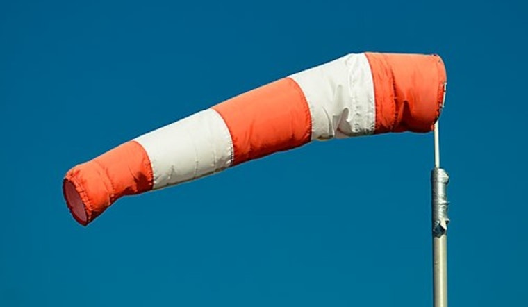
Afternoon Winds Pick Up
East winds of 5 to 15 mph are expected to ramp up through the afternoon, with gusts reaching as high as 25 mph. Waterfront paths and exposed bridges will feel especially windy, the kind of day when you grip the steering wheel a little tighter crossing the lake.
Small Craft Advisories are in effect across local waters through Thursday, and conditions offshore will be considerably rougher: sustained easterly winds near 20 to 25 knots with gusts around 30 knots and seas building to 7 to 10 feet, according to the National Weather Service.
Coastal Flood Advisory Thursday
The National Weather Service has issued a Coastal Flood Advisory for Thursday, April 9, from 11 AM to 8 PM CDT, with “Minor coastal flooding expected” along east-facing shores and tidal lakes. The highest risk lines up with the afternoon high tide.
Low-lying roads, parks, and some shorefront neighborhoods, including vulnerable spots near Shell Beach and Waveland, could see short-term ponding or localized inundation during the advisory window, according to the National Weather Service.
What To Watch And How To Prepare
If you are planning to drive along east-facing shorelines Thursday afternoon, expect delays and avoid any water-covered streets. Do not try to drive through standing water, no matter how shallow it looks. Boaters should put off trips while advisories are active and make sure loose gear at marinas is tied down before the worst of the winds arrive.
For more on the setup behind this windy stretch and the earlier alerts, see wind whips up trouble for the New Orleans coast.
Looking Ahead
Rain chances stay low through the rest of the week while temperatures tick a bit warmer into the weekend, with highs edging into the upper 70s and low 80s by Sunday and Monday. Marine conditions should gradually calm down over the weekend as the pressure gradient relaxes, but it is still smart to check the latest forecasts before heading out on the water.


