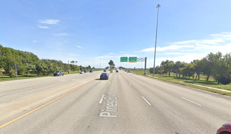
The National Weather Service office in Miami turned to locals Sunday night after a social media post claimed a tornado had spun up over Pembroke Pines. A nearby account told forecasters they spotted a funnel near Pines Boulevard by the I-75 and Sheridan Street interchange, and meteorologists quickly asked for more detail to figure out whether a tornado actually touched down.
What NWS Is Asking Witnesses
In a post on X, the Miami office replied, "Hello, can you elaborate further on this?" and invited anyone who saw the storm to chime in. One driver responded that they noticed a funnel near Pines Boulevard close to the I-75 and Sheridan interchange but did not capture it on video. According to NWS Miami, the office is looking for exact times, pinpoint locations and any photos, which help forecasters decide if radar-indicated rotation was a true touchdown or just a dramatic but harmless rotating cloud.
Why Eyewitness Reports Matter
Local forecast offices lean on SKYWARN spotters and everyday residents to provide ground truth that radar can miss close to the surface. Those reports, which should include a specific location, a clear time stamp and a short description of any damage, can help trigger warnings or lead to post-storm damage surveys that confirm a tornado. For details on what to report and how to send in observations, see the National Weather Service's SKYWARN guidance. National Weather Service SKYWARN
How To Report And Stay Safe
If you saw a funnel or damage that might point to a tornado, call 911 first if anyone is in immediate danger. If conditions are safe, write down the exact spot and time, save any photos or video, and submit them through official reporting channels instead of simply sharing unverified posts. Federal guidance urges people to shelter in a basement or interior room away from windows and to avoid vehicles or overpasses when a tornado is nearby, and the agency advises following the CDC's tornado safety tips if you need quick sheltering instructions. CDC
How Unusual Is This?
Tornadoes are not strangers to South Florida, but April 2026's more active outbreaks have focused well to the north, which makes confirmed local sightings even more useful for meteorologists. An April 22 analysis by Weather.com noted that much of the month's tornado activity concentrated in the Midwest, with only limited events logged in the Southeast up to that point.
The NWS is now urging anyone with clear photos, video or precise location and time details to reply to its post or file a formal storm report so meteorologists can investigate. Officials plan to confirm any tornado, or schedule damage surveys, only after they match solid eyewitness accounts with radar data and, if needed, on-the-ground checks.


