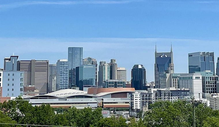
Nashville woke up Friday, April 17, 2026, to clear skies and a brisk 57°F at Nashville International Airport (BNA). That cool start will not last long, with mostly sunny skies helping temperatures rocket into the upper 80s by this afternoon.
Forecasters have been eyeing this warm, gusty setup all week, and it is still locked in, keeping temperatures running above normal. For more background on the soggy-to-sweltering setup, see our earlier forecast soggy-to-sweltering setup.
Afternoon Heat And Saturday Storms
Highs will peak in the upper 80s Friday with a light southerly breeze, so late-day outdoor plans will feel more like early summer than mid-April. Showers and thunderstorms are likely Saturday, April 18, 2026, continuing into the evening with gusts up to around 25 mph. “No severe weather is currently expected,” according to the National Weather Service.
What This Means For Plans
Take full advantage of the dry, warm Friday, but have a backup plan for Saturday night. Brief heavy downpours could slow evening commutes and make roads slick for a time. Cooler, drier air settles in Sunday, with highs near 67°F, and there are no watches or warnings in effect for Davidson County at this time.


