The Pasadena Planning Commission is set to take up a sweeping rewrite of the Fair Oaks–Orange Grove Specific Plan on Wednesday night, a move that could reshape land use, building heights and housing density along the city’s northwest corridor. The draft plan, which would replace the 2002 version, bundles new design rules, setbacks and open-space standards aimed at boosting housing production while keeping neighborhood-serving businesses in the mix. The commission’s vote will be advisory, with the City Council getting the final say.
As proposed, the plan area runs along Fair Oaks Avenue between Montana and Maple streets and along Orange Grove Boulevard between Lincoln and Oakland avenues, covering roughly 171 acres of northwest Pasadena. The update is part of the city’s Our Pasadena program to modernize neighborhood-specific plans and leans on a community-driven vision that favors denser, walkable corridors with ground-floor commercial space. City planning materials frame the goal as an effort to “create a pedestrian- and transit-oriented community supporting businesses and residential uses,” according to the City of Pasadena.
What the draft would change
The draft would ratchet up residential density in several key spots. Along Fair Oaks north of Washington, allowable density would climb from about 32 to 48 dwelling units per acre. A parcel near the Fair Oaks and Orange Grove intersection would be set at 64 units per acre, matching nearby development patterns. Building heights would generally rise as well, with a proposed 39-foot cap for much of Fair Oaks and a 51-foot maximum south of the Fair Oaks and Orange Grove intersection. To encourage more varied rooflines, up to 30% of a building footprint could exceed those limits by as much as 12 feet.
On the ground, the draft sketches out street setbacks of roughly 5 to 10 feet, 15-foot interior setbacks where new buildings sit next to lower-scale zones or historic resources, sidewalks in the 10- to 15-foot range, and a requirement for publicly accessible open space on projects larger than 120,000 square feet. The full set of numeric standards and accompanying diagrams appears in the city’s draft recommendations, detailed in a City of Pasadena staff report.
Names, history and equity
Community feedback also shaped a series of symbolic but closely watched changes to neighborhood names. Under the draft, the La Pintoresca subarea would be renamed the “Black Legacy District,” a nod to the area’s documented Black history. Other subareas would take on the names Robinson, Robles and Arboleda, reflecting local cultural and historic ties.
The draft materials trace the corridor’s history through federal redlining and displacement linked to mid-20th-century freeway construction, a record that helped drive the plan’s stated equity objectives. Coverage of the renaming effort, the historical research and the broader community process behind the update has been summarized by Pasadena Now.
Why neighbors are watching
Residents and advocates are paying close attention to how the new density rules would land on specific parcels and how state incentives could ultimately shape the scale of future projects. Under California’s State Density Bonus law, developments that include affordable housing can qualify for additional units or taller buildings, and the draft plan anticipates the use of those bonuses. At the same time, it layers in open-space and design standards that are meant to keep overall massing in check.
On the transportation side, the city has already rolled out safety changes along North Fair Oaks, including a lane reconfiguration north of Washington and resurfacing work designed to slow traffic and cut down on collisions. Staff point to those projects as part of a broader push to make the corridor more walkable. Background on the safety work is available through City of Pasadena Transportation.
What happens next
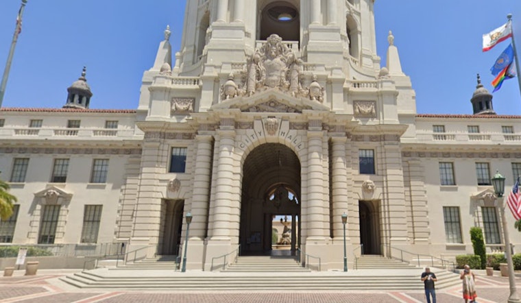
The Planning Commission’s public hearing is scheduled to start at 6:30 p.m. on Wednesday in City Hall’s Council Chambers, Room S249, where commissioners could vote to forward a recommendation to the City Council for final action. Residents can review the draft materials in advance and can contact the planning office at (626) 744-7311 for more details. For a neighborhood-focused rundown of the item and meeting logistics, readers can turn to Pasadena Now.


