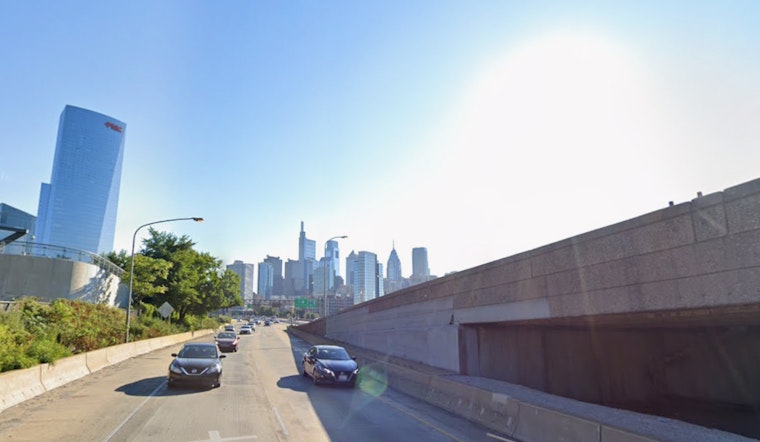
It is a humid, partly cloudy morning in Philadelphia, sitting at about 63°F at the observation site, but a sharp warm-up is on deck. Sunshine and southwest winds are set to drive inland temperatures into the low 90s by Wednesday afternoon, bringing the first 90-degree day of the year for many neighborhoods.
Afternoon Heat And A Late Storm Window
The National Weather Service forecast calls for a high near 91°F with southwest winds of 5 to 15 mph this afternoon. Late-day heating could kick off isolated showers and thunderstorms, mainly north of I‑78 from about 6 p.m. to midnight. Any storm that pops there could throw down damaging wind gusts, although the overall severe threat remains limited.
Record Watch And The Week Ahead
Today and Thursday look like the peak of this warm stretch, and several daily temperature records may fall at inland reporting sites. The pattern stays warm and mostly dry through Friday, with only spotty showers expected until a better chance for more widespread rain returns Sunday. The forecast discussion also flagged worsening drought concerns if the dry trend hangs on.
Plan For The Commute
Have water and access to shade if you are spending time outside this afternoon, and consider securing light patio furniture ahead of the later gusts. If you need relief from the heat, check City of Philadelphia cooling centers, and for background see summerlike sizzle and wild winds this week.
Coastal And Marine Notes
Coastal communities will stay noticeably cooler thanks to sea breezes while inland areas bake. Mariners should expect sub-small-craft-advisory conditions through Thursday, with southwest winds and 2 to 4 foot seas, and a brief uptick in winds and seas is possible Sunday.


