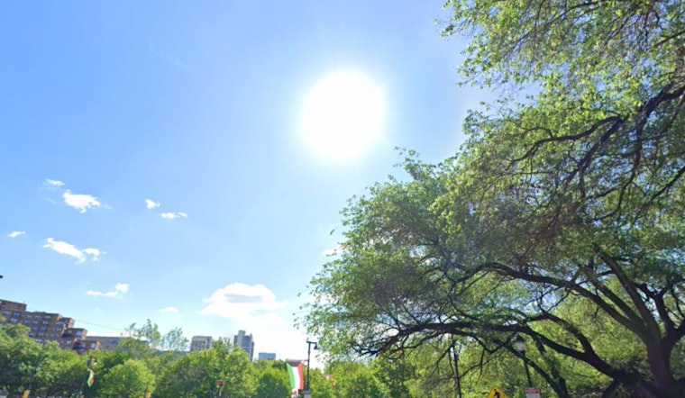
Philadelphia woke up warm and is headed for hot. KPHL clocked about 67F at 5:40 a.m. on Thursday, April 16, 2026, and forecasters expect the city to surge into the low 90s this afternoon. Southwest winds will increase to around 10 to 15 mph with gusts near 20 mph, and relative humidity is expected to fall into the mid-20s to mid-30s. That combination has triggered a Special Weather Statement flagging elevated fire-spread potential across parts of the region.
Afternoon Heat and Fire Risk
This afternoon is set to be the main event, with highs near 92F for many inland neighborhoods and mid to low 80s closer to the river and Delaware Bay. The National Weather Service notes that several record temperatures could fall today as readings run well above normal while humidity drops into the 25 to 35% range and southwest winds gust up to about 20 mph, conditions that could support rapid fire spread. Officials are strongly discouraging outdoor burning today, according to NWS Mount Holly.
Timing And Weekend Outlook
Tonight stays on the muggy side, with lows around 68F and a slight chance of late-night showers. A ripple of showers and a sharper cooldown is expected late Saturday into Sunday. Temperatures then fall sharply early next week, with a risk of frost Monday night into Tuesday as a colder air mass settles in. For background on the dry, gusty setup that led to today's concerns, see our earlier coverage of the bone-dry breeze.
How To Stay Safe
Officials are asking residents to skip outdoor burning today and to delay spark-producing work like mowing between midmorning and late afternoon while humidity is low and winds are gusty. If you have to work outside, keep a water source or extinguisher nearby and never leave grills unattended. Check on older neighbors and people without air conditioning, and if you need a public cooling option call 311 or the city's Heatline at (215) 765-9040. The city maintains cooling-center information at ReadyPhiladelphia.


