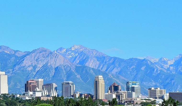
Salt Lake City started Tuesday, April 7, under clear skies and about 48°F at Salt Lake City International Airport, and the city is on track to stay in a spring groove for a few more days. Mostly sunny afternoons with unseasonably mild highs are expected through Friday, before a Pacific system rolls in late Saturday into Sunday, April 11–12, bringing a shot at showers and high-elevation snow.
Sunny, Mild Week
Tuesday is expected to stay sunny with a high near 73°F and light south-southwest breezes. Highs through Friday should hang in the upper 60s to mid-70s, with overnight lows generally in the upper 40s. Winds look gentle most of the time, only picking up a bit late in the day, which makes this stretch prime for errands, dog walks, patio lunches and whatever else you have been putting off all winter.
Those temperatures are running roughly 5–15 degrees above what Salt Lake City usually sees in early April, according to the National Weather Service.
Plan Ahead
Mornings will still feel a bit cool, so keep a light jacket handy for early commutes or coffee runs. By afternoon, it should feel comfortably warm, which is when outdoor plans will be at their best. Midweek weather looks steady, so getting to work, school or a nearby park should be straightforward. For evening plans, a light layer should be enough to take the edge off the overnight chill.
Weekend Rain And Mountain Snow
The quiet pattern breaks down late Saturday, April 11, as a more active system moves in and brings a chance of valley showers and scattered thunderstorms. Mountain areas look wetter, with more widespread precipitation expected on Sunday, April 12.
Snow levels are forecast to sit near 8,000 feet, which means higher trails, canyons and some passes could pick up wet snow or slushy accumulations, while the valleys see mainly light totals. Precipitation chances climb into the roughly 50% range Saturday and near 60–70% Sunday, according to the NWS forecast discussion.
For now, there are no watches or warnings in effect for the Salt Lake City forecast area, but with a stormy weekend on deck, anyone with travel or outdoor plans in the mountains will want to check back for updates as the system gets closer.


