Salt Lake City is waking up to partly cloudy skies and about 41°F at Salt Lake City International Airport (KSLC) early Monday, April 27, as a Pacific system muscles back into the region. Showers and thunderstorms are expected to build through the morning and become more widespread by midday, with the heaviest bursts possible into the afternoon.
What To Expect Monday
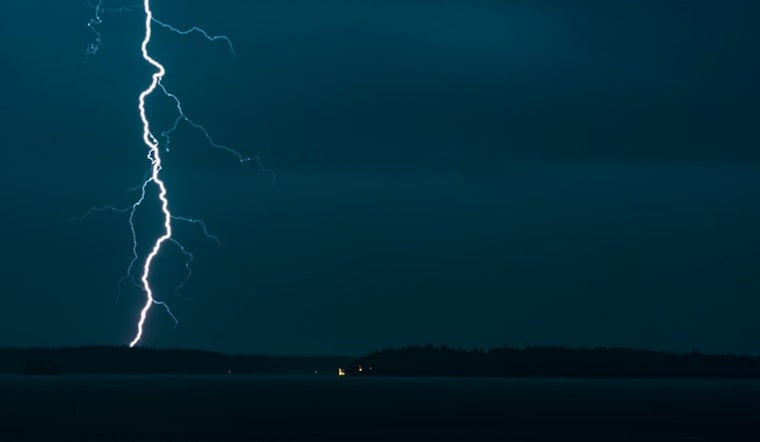
Rain showers are likely before noon, followed by showers and thunderstorms through the afternoon with a high near 52°F and temperatures easing into the low 50s later in the day. New rainfall amounts of a tenth to a quarter inch are possible, with locally heavier downpours and brief lightning bursts, according to the National Weather Service Salt Lake City.
Storm Hazards And Timing
Thunderstorms could bring brief heavy downpours, gusty winds, and frequent lightning during the midday to early afternoon window, which can cut visibility and leave standing water on low-lying streets. Conditions may change quickly, so anything planned outdoors from lunchtime through early evening could get interrupted.
Mountain Snow And Freeze Watch
Snow levels will sag toward roughly 6,500 to 7,000 feet, with accumulating snow mainly above about 9,000 feet and quick slush possible on higher canyon roads. A Freeze Watch is in effect from late Monday night through Tuesday morning for parts of the central and southwest valleys. Cover tender plants, protect outdoor faucets, and consider moving vehicles or pets indoors where possible. This is an update to our April 26 coverage of Stormy Sunday, as per Hoodline.
Travel And Safety Tips
Build in extra time for commutes, slow down in heavy rain, and never drive through flooded roadways, since standing water can hide hazards. If you are heading into the canyons, watch for sudden drops in visibility and slushy patches at higher elevations that can make mountain routes slick.
Looking Ahead
The main storm should move east by Tuesday as colder air filters in, then a warmer and drier trend builds later in the week with highs climbing into the mid 60s by Wednesday and low 70s by Friday. Updates will follow if watches or warnings change; for the latest forecast, check the National Weather Service Salt Lake City.


