

























































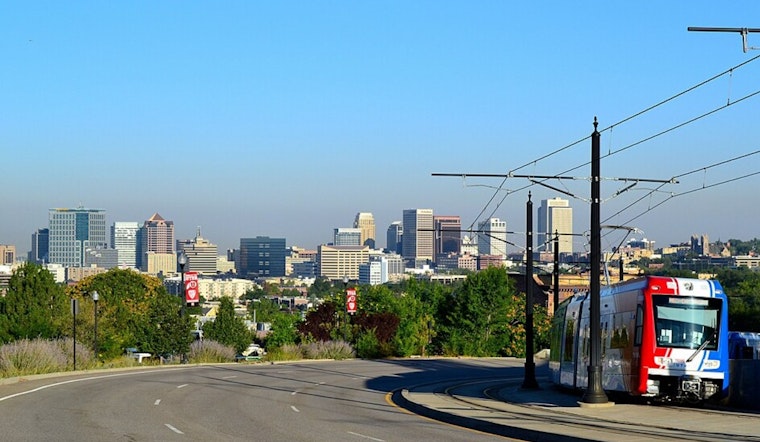
Salt Lake City is jumping straight into early-summer vibes on Monday, April 20, with clear skies, morning temperatures in the low 50s at Salt Lake City International, and afternoon highs forecast near 80 degrees today and again Tuesday. That is well above normal for mid-April. Enjoy the sun while it lasts, because the pattern is set to flip by midweek.
Tuesday Gusts And Midweek Shift
Southerly flow strengthens ahead of an approaching trough on Tuesday, April 21, and forecasters expect gusts of 40–50 mph across the western valleys in the afternoon. That is strong enough to send patio furniture tumbling and make life interesting for high-profile vehicles on the roads. The warm surge is brief: a cold front arrives Wednesday, April 22, with rain showers likely before mid-morning, followed by showers and thunderstorms throughout the day, with highs only in the upper 50s.
Behind the front, snow levels drop to roughly 6,000–6,500 feet, which means valley rain and fresh mountain snow north of I-70/US-50. Forecasters also note a 10–40% chance of locally freezing temperatures in some western and central Utah valleys from Thursday through Saturday morning, according to the National Weather Service Salt Lake City.
Plan For Your Commute And Yard
Monday should be smooth sailing for commuters, but Tuesday’s gusts and Wednesday’s showers could slow canyon routes and turn late-day drives into a slog. Secure loose outdoor items, tie down trailers, and be ready for spotty delays on canyon crossings. Gardeners get a heads-up too: cover tender plants and shut down or winterize sprinklers before Thursday night to dodge potential freeze damage.
For a broader look at how this pattern fits into the week’s ups and downs, see our earlier preview, and check local cameras and road reports before you hit the highway, as per Hoodline.





.jpg)