Salt Lake City woke up to clear skies and a brisk 37°F on Saturday, April 25, with mostly sunny weather and a high near 63°F on tap. It is a solid day for yard work and soccer games, but the quiet stretch will be short-lived, as a Pacific storm moves in Saturday night and hangs around through Monday. If you have outdoor plans, this is your dry window before rain settles into the valleys and colder air reloads the mountains overnight.
Saturday Night - Showers And Thunderstorms
After 9 p.m. Saturday, showers and thunderstorms are likely, with valley rain turning steady overnight and lows dipping into the mid-40s. A Freeze Warning is in effect for some lower valleys through 9 a.m. Saturday, so this is the morning to cover tender plants and outdoor faucets. Late-night precipitation chances climb to around 90%, according to the National Weather Service.
Sunday And Monday - Wet And Cool
Rain showers should roll through Sunday morning, then shift to a mix of showers and thunderstorms through the day, with highs near 53°F. New rainfall totals of roughly a quarter to a half inch are possible Sunday, and another round of widespread precipitation is expected to keep the valleys damp into Monday. For the setup that led to this weekend's whiplash, check out our Friday preview, as per Hoodline.
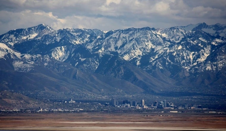
Mountains And Travel
The Wasatch is lined up for the real snow action. Higher ridgelines could pick up roughly 6 to 12 inches of new snow from Saturday night into early Tuesday morning, with the upper Cottonwoods favored for the heaviest totals. Snow levels will start near 7,000 to 8,000 feet before dropping with a follow-up storm. That mix of valley rain and mountain snow will slow canyon travel and make roads slick, so it is wise to check forecasts and conditions before heading up, per the National Weather Service.
How To Prepare
Bring in or cover sensitive plants, secure patio furniture, and leave extra time on the roads for wet pavement and brief heavy downpours. Before driving the canyons, pull up cameras and closure information on UDOT, and keep an eye on transit alerts if you rely on UTA.


