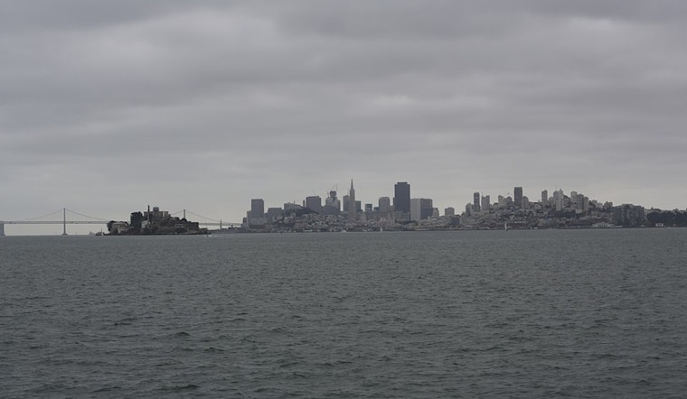
San Francisco woke up cool, damp, and a little grumpy today, with temperatures near 53°F and spotty showers already moving through downtown reporting sites. Forecasters are calling for a messy, wet morning with showers and a heightened risk of thunderstorms before midday, followed by a quick flip to a mostly sunny afternoon with highs near 65°F. New rainfall amounts are expected to be light, generally less than a quarter inch, although stronger cells could still deliver isolated downpours and lightning. Southeast winds this morning are forecast to swing around to the northwest by late afternoon, ushering in drier air and brighter skies.
Morning Showers And Thunder Risk
The wettest window is expected before 11 AM today, with showers and thunderstorms most likely during the morning commute. Rain chances run roughly 50–70% through mid-morning, and most neighborhoods will likely see no more than a tenth to a quarter inch of new rainfall. That said, brief heavy downpours and lightning remain on the table with any stronger cell that pops up. If you spot lightning, head for a covered shelter and steer clear of standing water on roads and sidewalks. This guidance is from the National Weather Service.
Afternoon Clearing And Thursday Outlook
Showers should taper off by early afternoon, with the city expected to see sun breaks and temperatures climbing into the mid-60s, then slipping a few degrees into the evening.
Boaters, Commuters And What To Bring
Boaters should be ready for stronger northwest winds and Small Craft Advisories in parts of Monterey Bay and nearby coastal waters tomorrow until Friday, so it is worth checking local marine notices before heading out. Airports may see brief MVFR ceilings and scattered heavier showers through the morning, although SFO is expected to improve to VFR by the afternoon. For the morning commute, a rain jacket, a few extra minutes of travel time, and some flexibility to shift outdoor plans into the sunnier afternoon window should go a long way.


_(05).jpg)