Downtown St. Louis is starting Sunday, April 12, 2026 on a calm, clear note around 61°F, but it will not stay that way for long. Strengthening southerly winds are set to crank afternoon highs to near 82°F and bump up the humidity. By late day, there is a slight chance of showers or even an isolated thunderstorm. Gusts could reach up to 30 mph, especially along the riverfront and on exposed bridges.
Afternoon Winds Crank Up Across the Metro
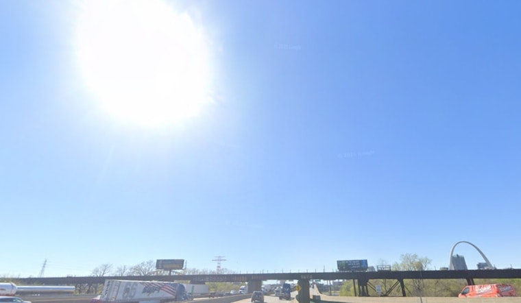
Southerly winds of 7 to 18 mph will steadily increase through the morning, topping out this afternoon with gusts that may hit 30 mph. That kind of breeze can turn a casual bike ride into a workout and make things tricky for high-profile vehicles on elevated stretches. Umbrellas, lightweight lawn chairs, and any loose patio gear are at risk of taking a short flight if they are not secured. Drivers should plan a few extra minutes, particularly on river crossings and other exposed roadways.
Spotty Evening Showers in Play
After about 4 p.m. Sunday, a slight chance of rain showers creeps into the forecast, with the best odds lining up from central and northeast Missouri into west-central Illinois. Tonight, showers and isolated thunderstorms are possible, mainly between 7 p.m. and about 2 a.m. Monday, April 13, 2026. Any stronger cell could bring brief heavy downpours and lightning. If you have outdoor plans this evening, it is a good idea to have a quick escape option indoors and a weather app close at hand.
Warm Week On Tap, Eyes on Tuesday and Wednesday
Temperatures stay above normal into the new workweek, with highs near 87°F on Monday, April 13, 2026 and around 88°F on Tuesday, April 14, 2026. According to the National Weather Service St. Louis, multiple rounds of showers and thunderstorms are possible later in the week. The higher risk arrives Tuesday night, April 14, and again Wednesday afternoon and evening, April 15, when some storms could turn severe. The Storm Prediction Center has already flagged an elevated signal across parts of the Plains and the lower Missouri Valley for that time frame.
How to Play It: Wind, Rain, and Midweek Storms
For Sunday, plan on a breezy afternoon commute and stay alert for a quick burst of heavy rain or lightning after dinner. Looking ahead to Tuesday night and Wednesday, April 14 to 15, 2026, be ready to head inside quickly if storms fire up, keep phones charged, and follow local weather alerts in case any storms intensify.


