This morning (Friday, April 10, 2026) St. Louis is waking up under cloudy skies and about 64°F, with a front pushing through that will bring scattered showers and a few thunderstorms later today. Highs should top out near 71°F before dipping into the upper 60s this afternoon, and west winds will be around 6–9 mph.
Timing And Impact
Expect a chance of showers and thunderstorms after 8 a.m. on Friday, April 10, 2026, with scattered storms most likely from mid to late morning into early afternoon. Brief heavy downpours could reduce visibility and slow Friday morning and afternoon commutes, and lightning or gusty winds are possible in stronger cells. For the latest timing and any watches or warnings see NWS St. Louis.
Tonight Through Saturday
Tonight (Friday night, April 10) the low will be around 53°F with a chance of showers before 4 a.m., then mostly cloudy. Saturday, April 11, 2026 will warm into the mid 70s as the front lifts north, but scattered storms remain possible, mainly in the morning. Lows Saturday night drop to near 61°F.
Weekend And Next Week
Sunday, April 12, 2026 looks warmer with highs near 81°F and south winds 8 to 16 mph with gusts as high as 30 mph. Several rounds of showers and thunderstorms are possible Sunday, April 12 through Thursday, April 16, 2026, and forecasters note a chance of stronger storms mid week next week, according to NWS St. Louis.
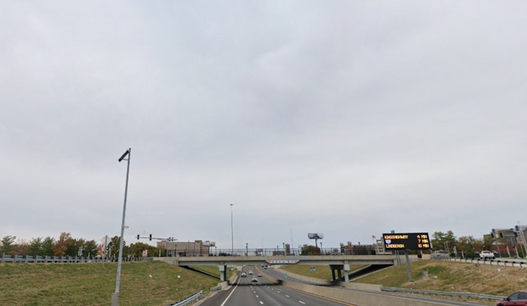
Commute And What To Pack
Bring rain gear and a backup plan for outdoor activities, and secure loose patio furniture and umbrellas before the stronger showers roll through. Transit riders should check Metro Transit Service Alerts before leaving to see if weather is affecting routes or schedules.
Bottom Line
Cloudy with scattered showers and a few thunderstorms today, cooler than earlier this week, followed by a warmer but unsettled stretch into next week. Updates will come if watches or warnings are issued.


