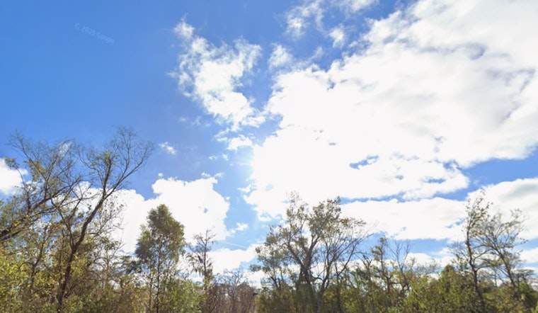
New Orleans woke up to clear skies and about 68°F on Saturday morning, April 18, 2026, the kind of start that practically begs for a day outside. Expect a warm, mostly sunny afternoon with a high near 85°F and a light south breeze around 5 to 10 mph. If you are planning to linger outdoors, sunscreen, shade and plenty of water will be your best friends.
It is a muggy start, with dewpoints near 64°F and relative humidity in the upper 80s, so the morning will feel plenty sticky before slightly drier air edges in later in the day. Temperatures climb into the low to mid 80s by mid-afternoon, and the chance of rain stays low through the daylight hours.
Overnight Storms And Timing
A cold front moves in late Saturday night and will likely break the quiet stretch. Showers and thunderstorms are expected between about 1 a.m. and 4 a.m. on Sunday, April 19, 2026. Most spots can expect light to moderate rain, around a tenth to a quarter of an inch, with west winds gusting near 30 mph. Behind the front, Sunday turns cooler with a high near 72°F and north winds of 15 to 20 mph, with gusts up to around 35 mph. These timing and advisory details come from the NWS New Orleans/Baton Rouge.
Boaters And Shoreline Precautions
Small craft advisories are expected for many local coastal waters starting in the pre-dawn hours Sunday and lasting into Monday, with a few zones possibly staying under advisory into early Tuesday. Mariners should be ready for northerly winds around 25 knots and choppy seas. Secure loose gear, check your marine forecast twice and consider postponing small-boat trips until conditions calm down.
What To Expect This Week
Once the front clears the area, the weather settles into a drier, more classic spring pattern. Monday looks mostly sunny with a high near 75°F, and a largely dry stretch is expected through Thursday, with highs in the upper 70s to low 80s. By late in the week, a warmer and more humid setup returns, along with a renewed chance for scattered afternoon storms on Friday.
Plan Ahead
If you have outdoor plans late Saturday night or early Sunday morning, bring rain gear, keep an eye on the sky and allow extra travel time in case brief downpours cut visibility. Before heading out on the water, check the latest marine and forecast updates and follow any posted advisories so the only surprise you get is how quickly the weather changed.


