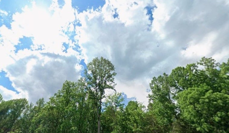
Charlotte is waking up warm and sticky this morning, around 63°F at Charlotte Douglas International Airport (KCLT), with the heat cranking toward a high near 82°F this afternoon. Skies will be mostly clear early, turning partly sunny, and there is a slight chance for scattered showers and an isolated thunderstorm after 3 p.m. South-southwest winds will run light to moderate with gusts up to about 21 mph, so outdoor plans could see a brief interruption or two.
Afternoon Storms Possible
Today’s combo of heat and humidity will be enough to pop up spotty, mostly short-lived showers from mid to late afternoon into early evening. A lot of neighborhoods will stay dry, but any passing downpour could quickly knock down visibility and make roads slick, especially during the late-afternoon commute. Tonight stays mild with a low near 63°F and a lingering chance of isolated showers into the evening.
Weekend Front And Cooler Week
A cold front pushes in Sunday, bringing the best rain chances of the week. Showers and thunderstorms look most likely Sunday morning, with pockets of heavier rain and gusts that could reach into the mid-20s. The National Weather Service estimates that many spots could pick up between a half and three-quarters of an inch of rain, with higher totals favored across the western foothills and mountains, so expect soggy roads and some travel slowdowns. Once the front slides through, highs dip into the upper 60s early next week, and nights Tuesday and Wednesday could be chilly enough for frost in higher elevations and parts of the northwest Piedmont, which means sensitive plants may need some protection.
Plan Ahead
If you are heading outside today, keep an umbrella within reach and be ready for a brief shower or downpour after 3 p.m. Sunday morning commuters should build in extra time for a wet drive. We have fine-tuned the timing and late-week cool-down from our earlier outlook, so you can check how the setup evolved in our previous forecast that cranks up the heat before weekend storms. Keep an eye on radar, follow the latest NWS updates before traveling, and cover any vulnerable plants ahead of the cooler nights.


