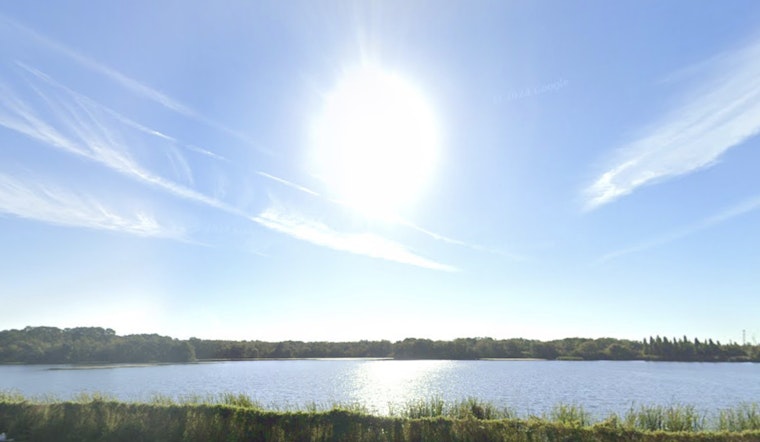
This morning in Tampa (April 15, 2026) starts off clear and comfortable, with skies wide open and temperatures in the mid-60s. By afternoon, expect full sunshine, a high near 88°F, and a light east-southeast breeze that keeps things warm but still bearable before the real heat ramps up later in the week.
What To Expect
Daytime highs will hover in the mid to upper 80s through Thursday, with inland neighborhoods likely nudging into the low 90s by Friday and Saturday. Overnight lows stay on the mild side, generally in the upper 50s to mid 60s. Rain chances are essentially zero through the weekend as a ridge of high pressure keeps the region locked into a dry pattern, and winds remain light from the east to east-southeast. These trends and the dry weeklong outlook come from the National Weather Service Tampa Bay.
Drought And Water Rules
Much of West Central Florida is still stuck in moderate to extreme drought, and local water managers have tightened restrictions, including weekly watering windows for most customers, to stretch limited supplies. Before you run the sprinklers, check your county's schedule and rules. Details on the current restrictions are outlined by Axios Tampa Bay.
Outdoor Plans, Boats, And Fire Risk
Headed out on the water? Boaters can plan on easterly winds generally under 15 knots with an onshore sea breeze building late in the afternoon. That setup should keep most bay waters fairly calm, although nearshore areas can get choppier by evening. On land, relative humidity may dip to critical levels below about 35% at times, which elevates grass and brush fire risk. Forecasters say winds should stay light enough that no Red Flag Warnings are expected this week, according to the National Weather Service Tampa Bay.


