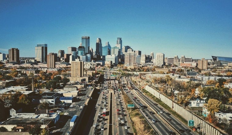
Minneapolis woke up to mostly clear skies on Friday, April 24, 2026, with mid-to-upper 40s on the thermometer and a northwest breeze around 10 mph. Sunshine will hang around through the afternoon, sending highs to about 63°F. It is prime weather for errands, a walk around the lake, or an outdoor lunch before a wetter pattern muscles in late Sunday and into next week.
Today: Sunny And Mild
Expect plenty of sun and a high near 63°F, with northwest winds around 5 to 10 mph this afternoon and a cool overnight low near 45°F. Skies should stay mostly clear into Friday night, ideal for an evening stroll as long as you grab a light layer. These details are from the National Weather Service Twin Cities.
Weekend Into Monday: Warm Then Wet
Saturday is expected to be mostly cloudy with highs near 63°F and only a small chance of an isolated shower. Sunday turns warmer with a high near 71°F and a slight chance of morning sprinkles before clouds thicken up. Rain chances climb late Sunday night, and showers and thunderstorms are likely Monday with a high near 63°F. Southeast winds could gust into the 30 to 35 mph range, so it may get a little rattly for trash cans and patio furniture.
The National Weather Service Twin Cities notes guidance that could bring a widespread soaking, possibly an inch or more in places, early next week.
Elevated Fire Risk To The West
Forecasters also flagged near-critical fire weather across parts of western Minnesota today because of very dry air and breezy conditions. That elevated risk is not centered on the Twin Cities metro, but it is close enough to be worth keeping an eye on. State officials have expanded spring burning restrictions in some areas, so if you had a burn planned, it is best to postpone until conditions improve.
For current fire-danger maps and local burning rules, check the Minnesota DNR.
How To Plan
For Friday, a light jacket should do the trick. Looking ahead, have rain gear ready for Sunday evening and Monday, and secure outdoor furniture, grills, and tarps before the gusty southeast winds arrive. If you are traveling through MSP on Monday, allow extra time, since heavy rain and strong gusts could slow commutes and affect flights. Signing up for local weather alerts can help you stay ahead of any quick changes, and any open burning plans should wait until the Minnesota DNR and local authorities lift restrictions.


