Heat lovers get a few more days to bask. Clear skies Thursday morning will build into a hot, mostly sunny afternoon in Tampa, with highs near 87°F on Thursday, April 30, 2026. The warm pattern hangs on through Saturday, before a cold front nudges in late Saturday into Sunday and brings a better shot at showers and thunderstorms.
Morning Snapshot
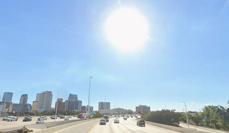
As of 5:35 a.m. EDT Thursday, April 30, 2026, skies were clear and temperatures hovered near 75°F, with humidity in the mid-70s. Light west-southwest breezes should stay on the gentle side through the morning. As the sun climbs, inland neighborhoods will run several degrees hotter by mid-afternoon, so if you are working or exercising outside, build in breaks and keep the water handy.
Afternoon Heat Through Saturday
The afternoon pattern stays locked in for a few days. Expect mostly sunny skies with highs around 87°F today, near 88°F on Friday, and climbing to about 89°F on Saturday, with a few inland spots briefly touching 90°F. Overnight lows will linger in the low 70s, keeping evenings on the muggy side. The heat will feel more intense away from the bay, while coastal neighborhoods run a bit cooler by a few degrees.
Storms Likely Saturday Night Into Sunday
Rain chances start to ramp up Saturday afternoon, with showers and a chance of thunderstorms after 2 p.m. on Saturday, May 2, 2026. That risk increases to likely Saturday night into Sunday as a front moves through. Look for gusty south-southwest winds Saturday, with peak gusts up to about 24 mph, followed by cooler highs in the low 80s on Sunday. The National Weather Service expects roughly 0.75 to 1.5 inches of rain across the area, with locally heavier downpours possible, and advises checking the latest forecast for more precise timing.
Boaters And Outdoor Plans
As the front approaches, marine conditions will turn choppy, with a window of advisory-level winds and higher seas possible from Saturday morning through Sunday night. If you have weekend boating trips, beach time, or outdoor events on the calendar, consider shifting plans earlier on Saturday or keeping a solid backup option. Brief heavy showers could cut visibility on the roads, so slow down and give any strong storms some space to move through.
Local Context
This warm stretch has been building through the month. Earlier in April, the forecast was already calling for a near-90s sizzle, and the new twist is the front now expected to break the heat this weekend. Forecasters still see only modest overall rainfall totals, enough to ease some dry spots but not to wipe out the broader drought concerns. We will update readers if any watches or warnings are issued ahead of Saturday's storms.


