Wednesday is starting calmly, but not for long in Baltimore. Morning conditions are mostly sunny and mild, with temperatures around 61°F and a steady southerly breeze expected to crank up throughout the day. Clouds build this afternoon, and the chance of storms climbs with them, so expect gusty conditions on bridges and other exposed routes. Highs should land near 75°F, although any heavier showers could briefly knock things down a notch and make it feel cooler.
Afternoon Storm Risk
Rain is on the table by late afternoon, with a window for showers opening around 4 to 5 p.m. and storm chances increasing into the evening. Any stronger thunderstorm cells could bring punchy outflow winds on top of the daytime breeze. South winds are expected to run 9 to 15 mph this afternoon, with gusts reaching the mid 20s to around 30 mph in the more intense storms. According to the National Weather Service, the primary concern is damaging gusts rather than a widespread severe outbreak, and most spots are expected to pick up less than half an inch of rain tonight.
Evening Into Early Thursday
Showers and thunderstorms become more likely overnight and into the pre-dawn hours, with a low near 54°F and a very high chance of rain before about 5 a.m. Thursday. Forecasters note that new rainfall totals of roughly a quarter to a half inch are possible, with locally higher amounts where stronger cells park overhead. Once the front moves through, winds turn northwest and humidity drops, although a brief patch of fog is possible if skies clear toward daybreak.
Weekend Warm-Up
Drier air settles in Friday, with highs rebounding into the low 70s. After that, the region heads into a notable warm-up for the weekend, with highs in the mid 80s Saturday and upper 80s to around 90°F Sunday and into early next week. The forecast discussion flags above-average temperatures through Monday and Tuesday, so it may be wise to time outdoor plans for the earlier morning or later evening hours to steer clear of the peak heat. A few pop-up afternoon showers could bubble up over the higher terrain, but the Baltimore metro area looks mostly dry for now.
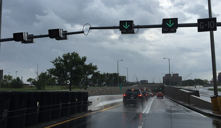
Boaters, Commuters And Tidal Watch
Small Craft Advisories are posted for Chesapeake Bay waters into tonight, so recreational boaters are urged to secure smaller vessels and avoid more exposed trips this evening. Tide guidance shows water levels peaking tonight and points to a chance for minor tidal flooding at Annapolis, so it is worth checking local tide predictions on NOAA Tides & Currents before heading for the waterfront. If you drive along low-lying stretches near the Severn River or the Inner Harbor, build in some extra time and give any standing water a wide berth.
Updates will follow if watches or warnings are issued. In the meantime, keep an eye on the sky this evening and secure any outdoor plans that are vulnerable to wind and rain.


_approaching_the_north_entrance_to_the_Baltimore_Harbor_Tunnel_in_Baltimore_City,_Maryland.jpg)