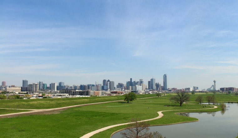
Today, opened clear and comfortable in Dallas, with a cool morning near 59°F and an afternoon on track to warm into the low 80s. Low humidity and a light southwest breeze should make this one of the better days of the week for patios, park time and knocking out errands before things get active again.
Afternoon Gusts and a Windier Monday
Tonight stays mostly clear with lows in the upper 50s to low 60s, but the calm vibe does not last long. By tomorrow, south winds are expected to pick up to around 10 to 15 mph with gusts near 30 mph at times, which is strong enough to flip an unsecured lawn chair or send a loose umbrella down the block. It is a good idea to secure patio furniture and any easily blown yard items before the afternoon commute.
Tuesday Into Wednesday: Storms on the Table
Late Tuesday into Wednesday, a cold front moving through North Texas will bump up the chance for scattered showers and thunderstorms, with the highest risk near and east of Interstate 35. According to the National Weather Service Fort Worth, a few storms could become strong to severe late Tuesday night into Wednesday morning, so keep an eye on local watches and warnings if you have evening plans.
How to Prepare Without Overthinking It
Enjoy the sunshine today, then take a few minutes to fasten down outdoor furniture and check tarps and tents ahead of Monday’s gusts. If you have events planned for late Tuesday night into Wednesday, consider moving them indoors or lining up a backup plan, and keep a charged phone handy so you can receive any weather alerts without scrambling at the last minute.


