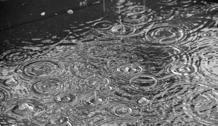
Seattle rolled out of bed Friday to a familiar combo: low clouds, cool mid-50s air and a light, nagging drizzle hanging over the sound. Light rain showers are expected to linger through the morning and into early afternoon, with a high near 59°F and mostly modest rainfall totals. The soggy stretch is timed perfectly to gum up the commute and any early outdoor plans, and heavier pockets near the Puget Sound convergence zone could leave sidewalks, bike lanes and crosswalks slick.
This Morning And The Commute
The National Weather Service Seattle expects showers to be most likely before 3 p.m., with about a 60 to 70 percent chance across the city and some intermittent heavier bursts in the mix. At Sea-Tac (KSEA), forecasters call for MVFR ceilings and scattered showers into midday, improving to VFR conditions in the afternoon, so a few flights could see brief delays. Drivers should plan on extra travel time, headlights on in the rain and a little caution around ramps and low-lying spots where water can pool.
Boaters And The Water
Out on the water, the vibe is less “relaxing Friday” and more “hang onto your hat.” Small Craft Advisories and gale conditions remain in place for parts of the Strait of Juan de Fuca and nearby coastal waters into Friday night, which will keep many crossings choppy and uncomfortable. Anyone eyeing a run to the islands or an open-water fishing trip may want to delay plans or stick to more protected harbors, and ferry rides over exposed stretches could be rough. Mariners should check the latest marine forecast before heading out and secure light gear if they are launching from local ramps.
Weekend And Early-Week Outlook
The onshore push backs off on Saturday, and the payoff looks solid: mostly sunny skies and a high near 63°F. Sunday follows with more sun and temperatures climbing into the mid-60s. Monday is expected to turn sunnier and warmer again, with highs in the low 70s, and Tuesday could spike into the 80s inland as a ridge builds overhead. Forecasters note a moderate heat risk for Tuesday, but the warm stretch should be short-lived, with onshore flow returning by midweek and bringing highs back into the 60s and 70s on Wednesday and Thursday.
More Background
For a deeper look at the pattern shift and how it affects travel, check out our earlier Hoodline coverage on midweek sun before Friday showers.


