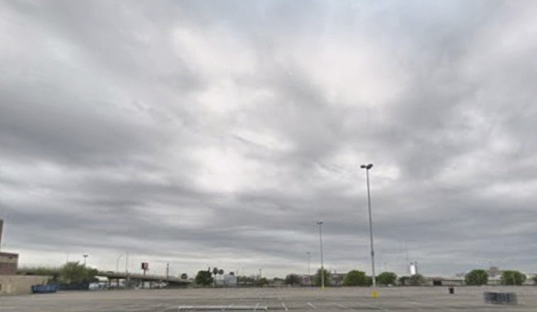
San Antonio woke up Wednesday, May 6, to a sticky start, with hazy, muggy skies, temperatures around 75°F and relative humidity near 89%. A low deck of clouds and some patchy mist may hang around through mid-morning, but the atmosphere will still have no trouble warming into the upper 80s. Expect a high near 88°F under mostly cloudy skies.
Late-Day Front Could Spark Strong Storms
A cold front is expected to slide in late Wednesday, and a few strong to severe storms could fire along that boundary during the late afternoon and evening, especially along and east of the I-35 corridor. The highest conditional threats are over Williamson, Lee, portions of Fayette and northern Bastrop counties, although most spots will likely stay dry. This setup and the timing are outlined by the National Weather Service.
Commute And Outdoor Plans
Evening commuters should keep an eye on radar and have a backup plan if outdoor plans run late. Any storm that does develop can drop sudden heavy downpours that cut visibility and make roads slick in a hurry. If you have events near the I-35 corridor, it is worth considering a move indoors or at least preparing for gusty winds and brief showers.
Thursday Cooldown And Weekend Warmup
Behind the front Thursday will feel noticeably cooler, with highs only near 73°F and north-northeast winds of 10 to 15 mph, with gusts up to 25 mph. By the weekend, temperatures rebound into the mid 80s to near 90°F and scattered storm chances return, so it is smart to keep an eye on the forecast since timing can shift.
Earlier Forecast Context
We covered the developing pattern in an April 14 post, and this week's front sharpens the timing for the first true cooldown of the month. Follow local updates if you have outdoor plans over the next 48 hours. See our earlier coverage of the windy week and weekend cooldown.


