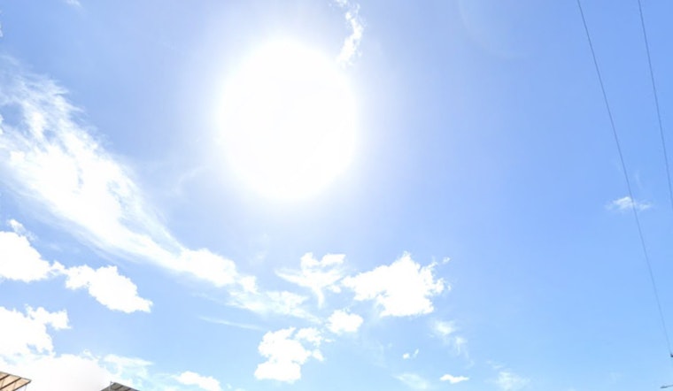
Honolulu woke up to a classic trade-wind kind of Friday, with warm air, fast-moving clouds, and flags snapping in the breeze. Temperatures started in the mid-70s around town, and highs are expected to top out near 82°F as east-northeast winds crank up again. Gusts could push into the upper 30s mph from late morning through the afternoon on exposed ridges and shorelines. Windward and mauka neighborhoods may catch a few isolated showers, while most leeward spots should stay largely dry. You might want to tie down anything lightweight in the yard and plan for a slightly wobbly commute in wind-exposed areas.
Winds and Advisories
Forecasters are keeping a Wind Advisory posted through 6 p.m. HST this evening for many exposed, windward and channel-adjacent areas, with sustained east-northeast winds around 22–26 mph and gusts up to about 38 mph. The advisory was extended as a strong high-pressure ridge north of the islands continues to funnel trades into the region, according to the National Weather Service in Honolulu. The strongest gusts are expected along ridgelines, through narrow valley mouths, and along east-facing shorelines, where the wind tends to speed up and catch drivers and hikers off guard.
Marine and Surf
Out on the water, a Small Craft Advisory covers most coastal waters through 6 a.m. HST Sunday, and a High Surf Advisory remains in place for east-facing shores into Saturday afternoon, creating choppy, hazardous conditions for smaller boats and less-experienced swimmers. According to the NWS Honolulu, a long upstream fetch combined with persistent trades will keep east shores rough, so mariners and beachgoers should pay close attention to local lifeguard and harbor notices.
Today and Weekend Outlook
Temperatures are expected to hover near the low 80s through the weekend, with overnight lows sticking around the mid-70s. Trade winds should gradually ease over the next few days but stay firmly in the breezy category into early next week. Isolated afternoon and overnight showers will continue to favor windward and mauka areas, with very little measurable rain anticipated over most leeward neighborhoods. We first flagged this trade-wind pattern in our earlier coverage of gusty trades poised to rattle Honolulu, and today’s update mainly reflects the extended advisories and persistently rough east-facing shores.


