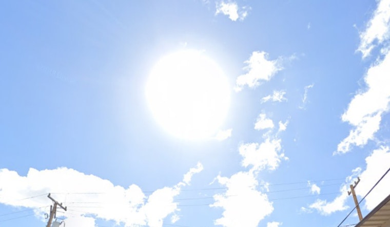
Honolulu is starting Tuesday on the warm and breezy side, with mostly clear skies, temperatures parked in the mid 70s, and a steady east-northeast wind already in play. A few quick showers are expected to drift over windward and mauka neighborhoods through late morning, but most spots will dry out under mostly sunny skies as the day pushes toward a high near 85 degrees. Outdoor plans are a go, though you should expect gusty onshore winds and the occasional sprinkle rather than any kind of washout.
Afternoon Winds And Spotty Showers
Trade winds will stay locked in through the afternoon, with east-northeast breezes around 14 to 20 mph and gusts that could reach about 28 mph. That will keep offshore waters on the choppy side and turn exposed shorelines and ridgelines into wind tunnels at times. The chance for measurable rain stays low but not zero, as brief downpours can still pop up over windward slopes. Overnight lows will hover near 74 to 75 degrees. These details are from the National Weather Service in Honolulu (NWS Honolulu).
Marine Conditions And Boating
A Small Craft Advisory is posted for Maalaea Bay, the Pailolo and Alenuihaha channels, and several Big Island nearshore waters through Wednesday evening, so small-boat operators should favor sheltered harbors and check in with local harbor offices before heading out. Trades are forecast to strengthen later this week and could reach Wind Advisory levels for some exposed areas from Thursday into Friday, which may trigger additional marine advisories. This bump in wind has been on the radar since May 13, when earlier coverage flagged returning gusty trades.
What To Expect For Your Commute
Drivers and cyclists should brace for sudden gusts on exposed stretches and bridge crossings this afternoon, and it is a good idea to secure lightweight items on lanais and in yards before the wind really ramps up. Widespread urban flooding is not in the cards, but windward streets could see brief runoff if one of those heavier showers passes through, so plan a little extra time for errands and appointments. If you are heading to the water, play it safe and check in with harbormasters or lifeguards before leaving shore.


