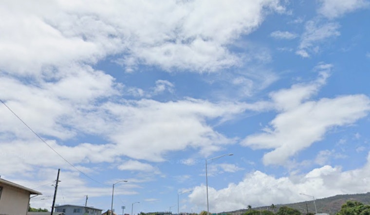
Honolulu rolled out of bed on Sunday, May 3, into a warm, muggy morning, with mostly clear skies, temperatures near 73°F, and humidity doing the heavy lifting to make it feel warmer than the numbers suggest. Scattered showers are expected to bubble up through the day, while breezy east-northeast trade winds turn heads along windward roads and exposed shorelines.
Today: Scattered Showers With Gusty Trades
Afternoon highs are forecast to climb to around 83°F, with east-northeast winds running 12 to 20 mph and gusts up to 28 mph. Those bursts will be most noticeable along the coast and on ridgelines. Scattered showers are on tap, but rain totals should stay light, generally under a tenth of an inch, according to the National Weather Service Honolulu.
This Week: Trades Ease Then Return
Forecasters say "a broad high pressure ridge north of the islands will produce moderate trade winds through Monday," before the ridge weakens as a frontal trough drifts north, which will bring lighter, more variable winds Tuesday through Thursday (May 5–7) before trades return by the weekend, per the NWS area forecast discussion. Look for most of the overnight and early-morning showers to favor windward slopes, while daytime sea breezes could kick off a few isolated afternoon showers over interior neighborhoods.
Travel and Marine Notes
Pilots and passengers might see brief MVFR pockets in heavier showers, and an AIRMET for mountain obscuration could impact windward sections of the Big Island and Maui, which may mean some slower-going for morning flights and slick spots on the roads. On the water, northwest swells are expected to stay below advisory levels this week, and there are no watches or warnings currently in effect.


