Houston stepped out the door Tuesday morning, May 12, 2026, into muggy, mostly clear air with temperatures hovering near 67°F and a light northeasterly breeze. By afternoon, the city heads for a bright, sunny high near 84°F with gentle winds around 5 mph. The workweek then turns a bit warmer, with highs edging up toward 88°F on Wednesday and Thursday.
Afternoon Sunshine and Midweek Warmth
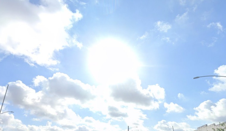
Afternoon temperatures will linger in the mid 80s as a ridge settles in overhead, so sidewalks, playgrounds, and parks will feel noticeably toasty in direct sun. According to the National Weather Service Houston/Galveston, Tuesday tops out near 84°F, while Wednesday and Thursday climb closer to 88°F with only light winds most days. If you are working or exercising outside during peak heat, keep the water bottle handy and take breaks in the shade.
Weekend Humidity And Spotty Showers
Dry skies dominate through the workweek, but a return of southerly Gulf flow late in the weekend will crank up both humidity and overnight lows, which will settle into the low 70s. Late Sunday into Monday brings a slight chance of isolated afternoon or nighttime showers, and a few spots could see brief thunderstorms. Most outdoor plans should hold up just fine, though it is wise to have a weather aware backup if you are planning long events outside.
Boaters And Commute
Small craft concerns from earlier this month have eased for most marine zones, but seas and onshore breezes are expected to build heading into the weekend, so boaters should check the marine forecast before casting off. This setup is a notable shift from the soggier pattern we covered last week, see our earlier weekend soaker breakdown for comparison. On the roads, commutes look mostly dry all week with bright afternoons, and only a few localized late day showers are possible as the weekend wraps up.


