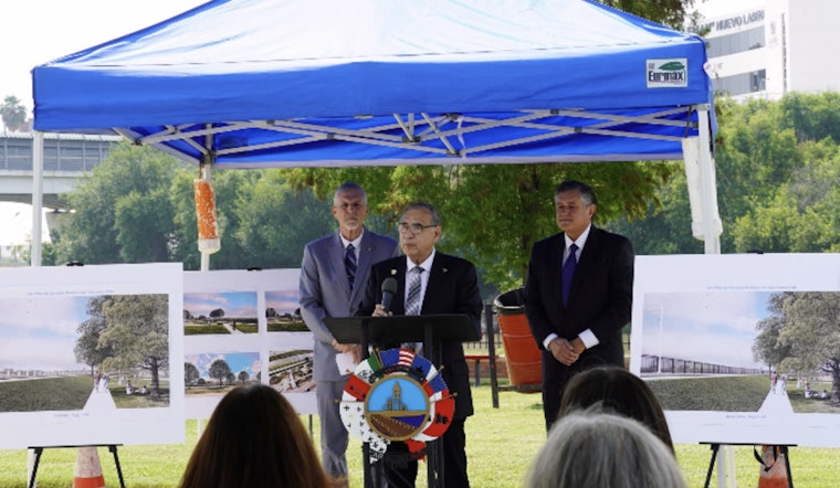
Laredo officials are rolling out a greener, lower-profile vision for the downtown stretch of the Rio Grande, trading in towering steel bollards for guardrails and shorter fences. The new concept is pitched as a way to keep people near the water, lower flood risks and still satisfy federal security rules. The schematic images were presented to local leaders as part of ongoing talks with U.S. Customs and Border Protection and the Department of Homeland Security, a small but hard-earned shift for a city that relies on the river for both drinking water and weekend downtime.
Renderings show several 'context-sensitive' options
In new renderings, U.S. Customs and Border Protection lays out three possible barriers: a guardrail, a steel fence and a chain-link fence. Each would sit only a few yards inland from the river and stretch from the Texas Mexican Railway International Bridge to the Juarez-Lincoln International Bridge, according to The Texas Tribune. All three options are shorter than the standard bollard wall and carve out green space on the river side, space that is meant for public recreation instead of a continuous curtain of vertical steel.
Local leaders pushed for alternatives
Mayor Victor D. Treviño has not minced words about the usual border wall design, calling the tall bollards "intrusive and visually unappealing" and saying city negotiators pressed federal officials for something that fits a dense downtown riverfront, as reported by the Laredo Morning Times. City leaders have framed the softer designs as part of a broader conversation over six particularly sensitive spots, including the busy bridge corridors, where they want to protect trade routes and existing infrastructure from heavy-handed construction.
Flood and infrastructure worries
City council documents highlight that much of the area sits in a floodplain and warn that vertical bollards can collect logs and trash, which can choke the flow of water. That is not a theoretical problem in Laredo, where the Rio Grande is the main source of drinking water, according to the City of Laredo. Those same records also point out that if the city refuses to grant federal survey crews right-of-entry, the government could seek condemnation of the land, a legal path that city officials are openly weighing.
Right of entry approved and expert studies ordered
On May 4, the city council approved a limited right of entry that lets Border Patrol survey about 15 miles of city-owned riverfront. At the same meeting, council members voted to bring in outside specialists to conduct parallel hydraulic studies, KGNS reported. Mayor Treviño said the roughly $100,000 analysis is meant to ensure the city's engineers and the federal teams are relying on the same data before anyone locks in a final design.
Contracts and the 'Smart Wall' context
The fresh renderings are landing at a time when the federal government has already handed out major contracts for so-called Smart Wall work in the Laredo sector. That includes a $440 million award to Fisher Sand & Gravel for about 15 miles of primary wall and roughly 16 miles of waterborne barrier, a separate $300 million Fisher contract for more waterborne barriers, and an approximately $665 million deal with SLSCO to build additional sections of primary wall, according to The Texas Tribune. The broader program mixes floating buoys, surveillance gear and patrol roads with physical structures, a package that has already drawn legal challenges and environmental concerns in other parts of Texas.
What comes next
For now, city officials say the back-and-forth with federal agencies is far from over. Any final route or design will depend on what the surveys and environmental studies show, work that will be done alongside the city's own hired experts, according to the City of Laredo. Community groups and local lawmakers say they plan to keep pushing for a border setup that lets residents reach the river and avoids passing problems downstream as Washington's plans move ahead.


