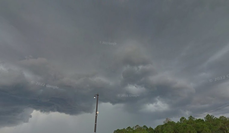
Marble-sized hail and gusty thunderstorms are lining up on Wednesday for a run at Central West Florida, with forecasters calling for pockets of half-inch hail and wind gusts up to 40 mph. Storm cells are expected to pop quickly along sea-breeze boundaries, then unleash short bursts of heavy rain and frequent lightning, with the greatest risk pegged for the late-afternoon into the evening commute.
Radar-indicated Special Weather Statements from the National Weather Service in Ruskin flagged storms that could feature roughly 0.50-inch hail and wind gusts near 40 mph. National Weather Service Tampa Bay office forecasters said the strongest cells' outflow winds "could knock down tree limbs and blow around unsecured objects," and they highlighted Pinellas County communities including Clearwater, Largo and downtown St. Petersburg in the immediate path. The statement logged "MAX HAIL SIZE...0.50 IN" and "MAX WIND GUST...40 MPH" for the tracked cell.
As reported by the Tampa Bay Times, the forecast covers a broader slice of central-west Florida, with quick-hitting storms expected to bubble inland and drift toward the bay. The Times described the setup as one that often produces tight, intense storm cores capable of brief but notable hail and heavy rain.
Where storms could hit
Hoodline's local forecast also calls for scattered late-afternoon storms around Tampa that could throw down small hail and kick up gusty winds. In its outlook on a looming steamy soaker, the site notes that severe-to-extreme drought still grips much of the region, so most of the rain is likely to stay patchy and will not do much to ease the dry conditions. With the threat so localized, officials are urging residents to keep an eye on the sky and real-time alerts instead of assuming storms will hit everywhere.
How to prepare
Half-inch, marble-sized hail is big enough to dent vehicles and rough up tender plants, and gusts near 40 mph can snap small branches and toss around unsecured outdoor items. According to the National Weather Service, hail in the 1/4 to 7/10-inch range can cause minor damage to vegetation and, when paired with strong winds, some minor damage to roofs or siding. The office advises people to seek shelter and secure loose objects. For live radar, watches and official warnings, residents are urged to follow local emergency alerts and National Weather Service Tampa Bay products before heading out.


