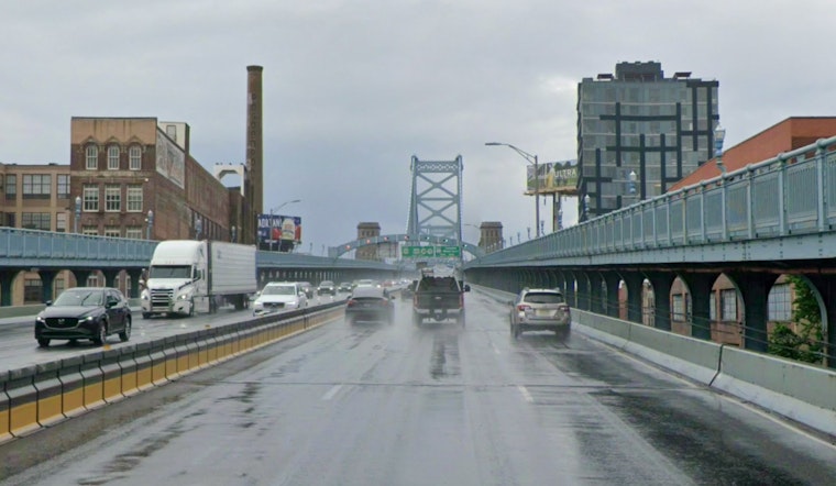
Philadelphia is waking up to light rain this morning and temperatures in the low 50s, about 53°F at the airport, which means a gray and soggy commute for just about everyone. Showers are expected to pick up through the day and stay steady into the evening, with an easterly breeze making it feel raw outside. Plan on the umbrella being your constant companion and give yourself extra time on surface streets and transit.
Rain is likely Saturday, May 23, with the heaviest band expected tonight into Sunday morning, May 24. Forecasters say regional totals of roughly 1 to 3 inches are possible by the time the system finally moves out. Highs will be near 57°F on Saturday before temperatures trend warmer into next week, although scattered showers are still in the cards for Memorial Day, Monday, May 25. These details come from the National Weather Service Mount Holly.
Afternoon Winds And Coastal Hazards
East winds will increase Saturday, generally 10 to 15 mph with inland gusts near 25 mph and stronger gusts along the Atlantic coast. The National Weather Service notes coastal gusts could reach about 40 mph. A Gale Warning and Small Craft Advisories are in effect for ocean waters, with seas building to around 7 to 10 feet, and a High Surf Advisory and a High Rip Current Risk are posted for the Jersey Shore and Delaware beaches from 8 a.m. Saturday into Sunday morning. For beach specific safety and flag guidance, see the National Weather Service beach forecast.
Plan Ahead
If you have outdoor plans, consider moving them inside or shifting the timing, since grills, park meetups and shore trips are likely to be disrupted this weekend. Boat operators and ferries should anticipate delays or cancellations while advisories are up, and swimmers are urged to stay out of the water. Cold ocean temperatures, in the 50s to low 60s, increase hypothermia risk for anyone who ends up in the surf unexpectedly. Officials expect to update guidance if watches or warnings expand before Memorial Day, Monday, May 25.


