Metro Detroit is starting today with a cold slap in the face: clear skies, mid-30s on the thermometer, and patchy frost showing up in low-lying yards and sheltered corners. A Frost Advisory hangs on until 8 a.m., and any tender outdoor plants left uncovered could take a hit. The trade-off comes later, with bright, breezy weather during the day before a soggy, stormy turn tonight and stronger winds overnight.
What To Expect Today
By this afternoon, skies turn partly sunny with a high near 63°F, though readings will slip back into the low 60s by late day as southeast winds pick up to 3–12 mph, gusting up to about 21 mph. If you are heading out after scraping frost off the car, plan on a light jacket and maybe tie down that wobbly patio chair. Shower chances stay low through the afternoon, but the atmosphere starts to get more unsettled once the sun goes down.
Storms Possible Tonight
A low-pressure system will push showers into the region this evening, with a better shot at showers and thunderstorms late tonight into early tomorrow, most likely between 10 p.m. and 5 a.m. A few stronger storms could deliver brief heavy downpours, small hail, and wind gusts up to 40 mph, with more typical gusts near 25 mph and overnight rainfall totals around 0.1–0.25 inches, according to NWS Detroit/Pontiac. Expect quick drops in visibility in the heavier cells, and give yourself extra time if you are driving during the evening and overnight windows.
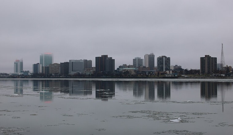
Boaters Should Take Note
Small Craft Advisories are posted for parts of Lake Huron, Lake St. Clair, and Michigan waters of Lake Erie from late today into Wednesday, with gusty southeast winds likely to kick waves up near 4 feet. Mariners should rethink any casual outings and check local lake forecasts before leaving the dock. Winds swing around to the northwest tomorrow afternoon but stay gusty into Thursday, so small craft conditions may remain choppy through midweek.
Looking Ahead
Temperatures dip again tomorrow, with highs around 60°F and a chance for scattered afternoon showers, before a more summerlike pattern barges in late week. Forecast guidance now points to the upper 70s to low 80s by Saturday and next Sunday, with next Monday trending even warmer and another shot at storms, continuing the quick weather whiplash we have been talking about. For background on the pattern shift, see our earlier Hoodline piece on the stormy weekend whiplash.
Quick Local Tips
Cover or bring in tender plants until the Frost Advisory wraps at 8 a.m. Pull in lightweight outdoor items before the evening breeze ramps up, and keep an umbrella handy for the nighttime commute. Boaters and lakeside residents should stay on top of marine advisories and hold off on nonessential trips if the water looks rough.


.jpg)