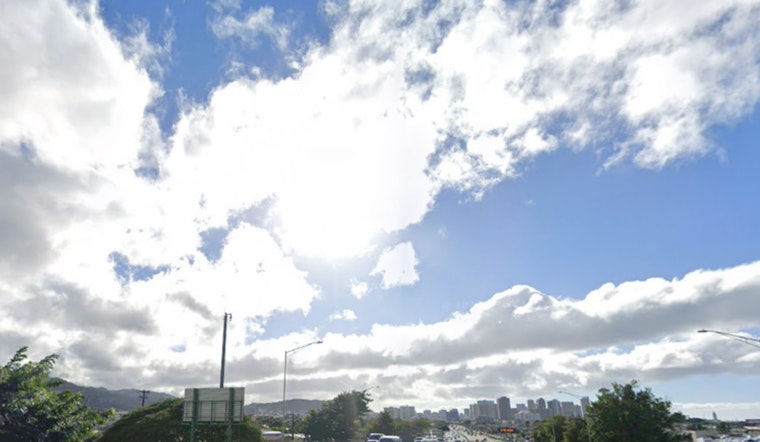
Skies are mostly cloudy over Daniel K. Inouye International Airport this Tuesday afternoon and the air feels every bit as humid as it looks, with daytime highs expected to hover near 84°F. The usual steady trade winds have tapped out for now, replaced by land and sea breeze cycles that leave mornings feeling extra muggy. Quick, scattered showers are likely to bubble up over interior and leeward neighborhoods during the afternoons, and overnight lows should hang in the low 70s.
What to Expect
Through midweek, highs are set to top out near 84°F with overnight lows near 73°F. Daytime rain chances stay on the modest side at roughly 10–15%, but isolated and brief downpours may flare up as afternoon sea breezes build. Winds will be light and variable, generally 3–10 mph, instead of the more reliable trades that dominated earlier in the month, according to the National Weather Service Honolulu.
Afternoon Showers And Commute
Most showers should be short-lived and focused over mauka slopes and leeward neighborhoods, so widespread steady rain is not expected. Overnight land breezes usually help to clear skies, although patches of low clouds and brief dips in visibility can still show up in heavier showers. Early-morning commuters and small-plane operators should be ready for pockets of lower ceilings at times.
Surf And Marine
A new long-period northwest swell is forecast to build Wednesday night and is expected to bump up surf along north and west shores on Thursday and Friday, while overlapping south swells keep south-facing beaches on the lively side. Seas and winds are projected to remain below Small Craft Advisory levels through at least Friday, but choppy conditions are still likely near exposed shorelines, per the National Weather Service Honolulu.
Bottom line, bring a water bottle and a light rain layer if you are heading out. Most of the island will feel warm and humid with only brief time-outs from spotty showers. For the latest details before heading out on the water or taking off, check the NWS page.


