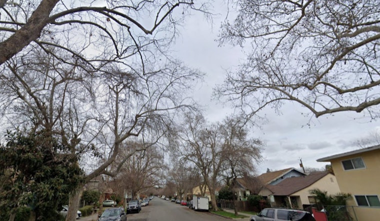
Philadelphia is getting a little bit of everything Sunday, May 10, 2026. A thick blanket of fog is cutting visibility across the city and suburbs early this morning, with a Dense Fog Advisory in effect through 8 a.m. EDT. Temperatures are sitting in the mid-50s, mist is hanging over Philadelphia International Airport, and the morning commute is slogging along in low-lying riverfront neighborhoods. Drivers are urged to slow down, stick to low-beam headlights, and leave extra space until the fog lifts.
Foggy Commute, Clearing By Midmorning
Once the sun gets a little higher, the fog should back off in a hurry. Most neighborhoods are expected to see clearly by mid to late morning, with airport conditions improving to VFR around 10 a.m. Low-lying river valleys and spots along the Delaware may stay murky a bit longer, so be ready for changing visibility on side streets and the riverfront. Early readings at Philadelphia International Airport show fog and mist with temperatures near 54°F this morning, according to National Weather Service observations at the site.
Afternoon Warmth and Storm Chance
After the gray start, the area turns much warmer, with highs climbing into the upper 70s to near 80°F this afternoon on a light west wind. A cold front will slide through late afternoon into the evening and bring a 40–50% chance of showers and scattered thunderstorms, especially along and southeast of I‑95, and a few storms may kick up brief gusty winds. Widespread severe weather is not expected. The National Weather Service notes that rainfall totals look light overall, with localized heavier downpours still on the table; see the forecast discussion at the NWS site for more detail.
Tonight And The Week Ahead
Scattered light showers may hang around into the overnight hours, but most spots should stay dry or pick up only a few tenths of an inch of rain. Monday turns noticeably cooler with showers likely and highs in the mid-60s. Another upper-level system could bring more showers in the middle of the week, although the timing and coverage are still a bit fuzzy. If you have outdoor plans later this week, keep an eye on updated forecasts as forecasters fine-tune the setup over the next 48 hours.


