As of 5:35 a.m. EDT Sunday, May 17, Charlotte woke up to muggy, mild air. Charlotte‑Douglas International (KCLT) checked in around 66°F with a dew point near 63°F, a combo that already has the air feeling a bit sticky. Mostly sunny skies this morning will help crank up the thermostat fast, with temperatures expected to jump toward a high near 90°F this afternoon and light south‑southwest breezes around 3–7 mph.
Afternoon Heat And Humidity
Highs are expected to climb into the upper 80s to low 90s from Sunday through Tuesday as a summer‑like air mass settles over the region. It will feel noticeably more humid than in recent days, though forecasters say the heat should stay below typical heat‑advisory criteria. This outlook lines up with guidance from the National Weather Service.
Late-Week Thunderstorm Chances
A cold front is expected to slide in around midweek, bringing a better chance of showers and thunderstorms from Wednesday into Friday, with Thursday currently carrying the highest odds at around 60 percent. Forecast models and the latest discussion suggest most of the rain will stay on the lighter side, so any drought relief would likely be limited even if storms flare up. That late‑week bump in rain chances is a modest shift from our May 16 forecast.
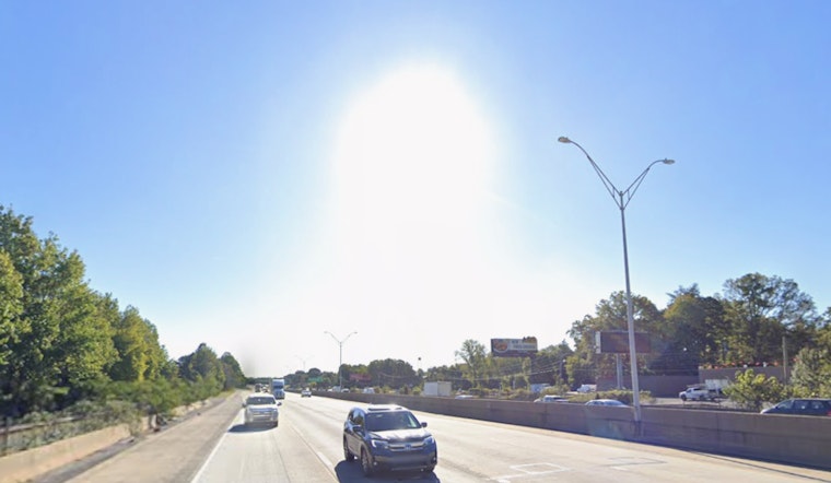
Plan For The Commute And Events
Morning hours will be the most comfortable window for outdoor work, errands, or exercise, while afternoons turn hot with a small chance of brief but intense downpours that could knock down visibility and slow traffic. If you have outdoor plans Thursday or Friday, it is worth lining up a quick backup option in case a shower or thunderstorm pops overhead. No watches or warnings are in effect for Charlotte this morning, and we will update readers if conditions change later in the week.


