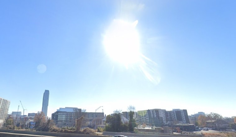
Charlotte is starting the week under clear skies and mild morning temperatures in the upper 60s, but the cool start will not last long. Heat will ramp up quickly, with a high near 92°F expected this afternoon. With only light south-southwest breezes on tap, hot and sunny afternoons are expected to hold through midweek.
Afternoon Heat and Outdoor Plans
Highs are forecast to climb into the low 90s through Wednesday, with daytime readings topping out around 92–93°F. Dew points should stay on the modest side, so the heat index is expected to track close to the actual air temperature instead of spiking much higher. No watches or warnings are currently in effect for the Charlotte area, according to the National Weather Service.
Late-Week Storm Chance
Forecasters note that a cold front will bring better rain chances in the middle to latter part of the week, with showers and thunderstorms becoming likely starting Thursday afternoon and continuing into Thursday night (Thursday, May 21–Friday, May 22, 2026). Most guidance points to light rainfall totals overall, so widespread drought relief is not expected. Still, a few stronger cells could deliver brief downpours and gusty winds. If you have outdoor plans on Thursday or Friday, build in a backup option and keep an eye on updates as the day unfolds.
Local Resources and Safety Tips
Mecklenburg County and its partners maintain cooling resources and publish lists of spraygrounds and community centers that open during heat events; residents should check local guidance for current locations and hours. The county also runs fan distribution programs and works with libraries and day-service centers as additional relief options. See Mecklenburg County for details. For more context on the evolving setup and timing, revisit our earlier look at sunshine and sneaky midweek storms.


