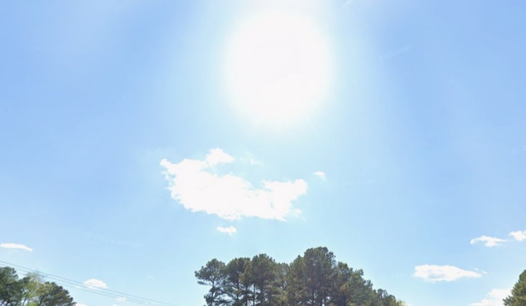
Raleigh rolled out of bed to a crisp, mostly clear start on Wednesday, with temperatures near 46°F at Raleigh–Durham International Airport. Sunshine will go to work fast, pushing afternoon highs into the upper 70s and topping out around 79°F on light south breezes. A weakening line of showers is expected to brush parts of the region late this evening, but most neighborhoods will stay dry or see only a quick sprinkle.
Tonight
After that near-79°F afternoon, a broken line of fading showers will slide east across the Triangle tonight, with the best shot at a brief shower running from about midnight to 5 a.m. Rain amounts should stay under a tenth of an inch and thunder is not expected. Look for a mild overnight low near 56°F with southwest winds of about 1 to 7 mph, according to the National Weather Service in Raleigh.
Thursday And Friday
Thursday steps things down a notch, feeling cooler and a bit breezy with highs near 73°F and northwest winds around 7 to 10 mph. By Thursday night, lows dip toward 50°F. On Friday, temperatures rebound into the upper 70s under mostly sunny skies, setting up a solid day for outdoor plans before the real heat arrives over the weekend.
Weekend Heat
That is when the thermostat really starts to climb. Saturday is expected to reach the upper 80s, with Sunday and Monday pushing into the low 90s and humid afternoons that could make it feel even hotter. Forecasters at the National Weather Service in Raleigh say the warm, moist pattern should limit widespread storms and favor only isolated late-day showers and storms.
Heat Safety
If you will be outside this weekend, plan for hot afternoons: drink plenty of water, take breaks in the shade, and keep pets and kids cool. Wake County and the City of Raleigh provide heat-safety guidance and lists of cooling options; check the City of Raleigh heat page for local resources and contacts.


