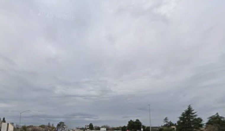
Sacramento is starting the week on the gray and chilly side, with cloudy skies and morning temperatures in the low 50s, a chance of scattered light rain through the day, and a better shot at steadier showers late tonight. Highs will top out in the mid 60s, a clear step down from last week’s warmth, so a light jacket for the commute and an umbrella for evening plans would not be overkill. The wettest stretch is expected late Monday night into early Tuesday, when steadier rain and lower clouds are most likely.
What To Expect Today
Rain chances sit near 30 percent during the day and ramp up to roughly 65 to 70 percent Monday night, with new rainfall totals generally between a tenth and a quarter of an inch. Most valley spots should only see light amounts, but the foothills and nearby mountains have the best shot at stronger thunderstorms capable of producing hail, gusty winds and frequent lightning. The National Weather Service highlights the mountains and foothills as the primary zone for stronger storm development.
Timing And Commute
Showers should stay scattered through the Monday afternoon commute, with steadier rain more likely late Monday night into the Tuesday morning drive. Brief heavy downpours could create ponding and cut visibility on surface streets, so giving yourself a little extra travel time and easing up on the gas is a smart move, especially on ramps and at intersections where slick spots tend to pop up. Overnight ceilings may drop to MVFR in the steadier rain, and a few lingering showers could still bother early morning travelers on Tuesday.
End Of Week Heat
By midweek, the storm heads out and a warming ridge builds over the West, flipping Sacramento back to dry and much warmer weather. Highs are expected to reach the upper 70s on Wednesday, climb into the low to mid 80s Thursday and Friday, then spike into the 90s by the weekend. Forecast guidance points to a high near 93 on Saturday and close to 97 on Sunday for inland areas, a pattern that brings minor to moderate heat concerns for inland and foothill neighborhoods late in the week.
If you are vulnerable to heat, including young children, older adults, or people with health conditions, it is worth planning ahead now. Try to limit strenuous outdoor activity during the hottest hours and make a cooling plan before the temperatures jump. In more serious heat events, Sacramento County may open cooling centers, so check local pages for activations and transit options. For the latest watches, warnings and updates, keep an eye on the National Weather Service and local emergency pages.


