Houston rolled into Thursday under a blanket of low clouds and sticky air, with temperatures around 73°F, dew points near 70°F and humidity parked in the mid‑90s. A train of disturbances is lined up to bring multiple rounds of showers and thunderstorms through Memorial Day, raising the risk of pockets of heavy rain and localized flash flooding. Holiday plans are not a total wash, but you will want to keep things flexible and be ready to dodge storm clusters between brief dry breaks.
When The Rain Will Fall
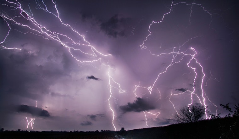
Showers and a few storms are possible late overnight into Thursday, with the main batch of activity expected on Thursday, May 21, into the afternoon as highs top out near 80°F. Additional rounds are likely Friday and through the weekend, with daytime highs generally holding in the low to mid 80s. Any given round could feature periods of heavy downpours and training storms that dump intense rainfall in a short time and sharply cut visibility during commutes.
Flood Watch And Flooding Risk
The National Weather Service has issued a Flood Watch for coastal counties from 7 a.m. Thursday through Monday morning, and forecasters say widespread totals of 4 to 6 inches of rain are possible through the holiday with isolated higher amounts that could trigger flash flooding, according to NWS Houston/Galveston. Spots that already grabbed several inches earlier this week, especially Matagorda and Brazoria counties, will be the most vulnerable because soils are still saturated. Watch for standing water on streets, rising creeks and quick runoff into low‑lying neighborhoods.
On The Water And The Commute
Boaters and beachgoers should plan on gusty winds near storms and higher seas in squalls. Outside the storm clusters, onshore flow will generally stay light to moderate with seas of about 3 to 5 feet at times. On the roads, sudden downpours can cause ponding and slam visibility, so slow down and leave extra stopping distance. If your plans take you near marshes or bayous, assume water levels can rise quickly and do not try to drive through flooded roads.
What To Do
Move or cover outdoor equipment, keep phones charged for weather alerts and avoid driving through standing water, and remember: turn around, do not drown. For background on the setup that is keeping storms parked over the region, see the storm setup behind this soggy stretch. Updates will follow if watches are expanded or warnings are issued, so check local forecasts before heading out.


