Tuesday morning in Jacksonville came on dark and soggy, with heavy rain, low clouds and patches of fog holding temperatures in the mid‑70s. Scattered thunderstorms are rolling across the metro and cutting visibility in spots, so plan for a slow, wet commute along I‑95 and the coastal corridors.
Showers And Thunderstorms Today
Rounds of showers and thunderstorms will stay widespread through late morning and into the afternoon, with a high near 73°F and about a 90% chance of measurable rain. Brief downpours could drop 1–2 inches of rain in short bursts, and some areas could see stronger, isolated storms capable of damaging gusts. According to NWS Jacksonville, northeast winds will run around 9–14 mph today with gusts up to about 21 mph.
Beach Hazards And Rip Currents
A Rip Current Statement is in effect from early Tuesday morning through early Wednesday, with surf building to roughly 3–5 feet along Northeast Florida beaches and a high risk for dangerous rip currents. Swim only at lifeguarded spots and stay out of the water altogether while storms are in progress. If you do get caught in a rip, float, do not try to fight the current, and signal for help. Local officials post safety flags and updates for beach conditions — check the Jacksonville Beach site for current conditions and lifeguard contact information.
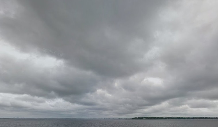
Mariners And Commuters
Small craft advisories are in effect for parts of the coastal waters from this morning into the evening, and onshore winds will leave conditions choppy for boaters and swimmers. Expect gusty, erratic winds near thunderstorms and stretches of reduced visibility in heavy rain. Build in extra time for coastal commutes and avoid nonessential small‑craft trips until conditions improve. If you are headed to the water or the shoreline, check conditions first and follow directions from lifeguards and marine officials.
Thursday And Beyond
Rain should taper by Wednesday night as a drier pattern settles in, with Thursday turning sunnier and warmer, and highs climbing back into the mid‑80s. The rest of the weekend looks mostly dry and hotter, so it is a better bet for outdoor projects later in the day, as long as you stay tuned to updated forecasts.
For ongoing forecast updates, visit NWS Jacksonville. For beach‑safety notices and lifeguard information, check in with Jacksonville Beach.


