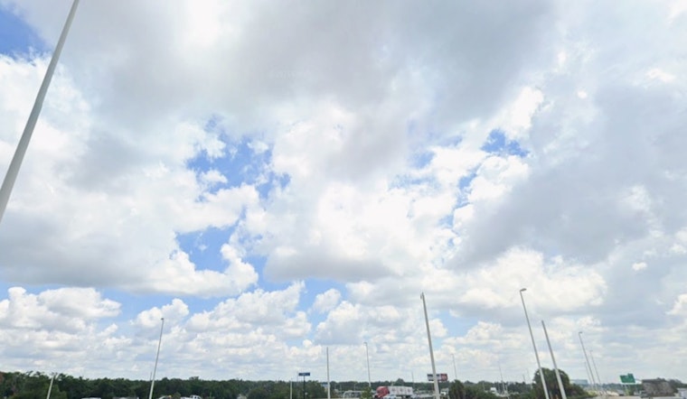
Tampa rolled into Thursday, May 28, 2026, under a blanket of clouds and thick, muggy air, with early morning temperatures near 77°F and dew points in the mid-70s. Scattered to numerous showers and thunderstorms are on tap on and off through the day, and neighborhoods that see storms repeatedly could get brief but intense downpours. Afternoon highs should reach around 89°F, and once storms pass, the lingering humidity will make it feel even hotter in spots.
Afternoon And Evening Outlook
There is a chance of showers and thunderstorms before 8 a.m., with scattered activity expected to linger through the late morning and into the mid-afternoon. Heavier cells could drop between a quarter and a half-inch of rain in short bursts, along with gusty winds near the stronger storms. Forecast timing and rainfall amounts come from the National Weather Service.
Commute And Outdoor Plans
These short-lived but heavy downpours can quickly cut visibility and cause ponding on roads, so rush-hour drivers should plan on slower trips. Skip any attempts to plow through standing water and have a safe place in mind to wait out lightning if you are planning outdoor activities. Boaters should keep an eye out for fast-developing squalls and be ready for gusty winds around storms.
Weekend And Next Week
Onshore flow will keep the Tampa Bay area humid and prone to storms into the weekend, with another round of scattered to numerous thunderstorms possible Saturday and Sunday. Friday looks hotter, with highs around 91°F and heat-index values near 98°F in some spots, before clouds and rain shave temperatures down slightly. We have been tracking the shift in our Tampa steam-bath report.
Quick Tips
Carry an umbrella and build in extra time if you are driving, and avoid any flooded streets you come across. Check for weather updates before heading out, move outdoor gatherings inside if heavy rain or lightning is expected, and make sure pets and anyone vulnerable to heat or storms have a safe, sheltered spot during the strongest cells.


