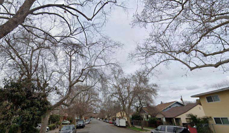
Philadelphia woke up socked in by low clouds and patchy fog on Tuesday, May 26, 2026, with temperatures in the mid 60s at Philadelphia International Airport and pockets of dense fog cutting visibility across parts of the metro area. A Dense Fog Advisory is in effect for sections north and west of I-95, and some suburban roads are seeing visibility drop to a quarter mile at times. The result is a slower-than-normal morning commute, so drivers are urged to leave extra time and stick with low beam headlights whenever the view ahead starts disappearing.
Dense Fog Advisory Where It Matters
The National Weather Service office in Mount Holly has issued a Dense Fog Advisory through 8 a.m. EDT for areas north and west of the I-95 corridor, specifically highlighting the Lehigh Valley, the Poconos and northwest New Jersey for the worst of the low visibility. According to NWS Mount Holly, recent rainfall combined with light winds overnight helped the fog form and left behind pockets of dense fog hanging on into the morning.
Foggy Mornings, Clearing Afternoons
Most neighborhoods should see the fog lift by late morning as winds shift and daytime heating kicks in, with highs headed for the upper 70s and low 80s across the city. For a fuller look at the holiday-weekend setup and the shoreline outlook, see our earlier forecast holiday-weekend setup and shoreline outlook.
Showers Return Late Tonight Into Wednesday
A wave of low pressure tracking along a stalled front will bring increasing chances for showers late Tuesday night into Wednesday, with the better odds south of I-78. Forecasters say rain showers are likely Wednesday and patchy fog may redevelop as low clouds return overnight. Expect generally light rainfall totals, a few hundredths to a quarter inch north of town, with locally higher amounts possible well south of the city, and no major travel impacts anticipated aside from the morning fog. See the latest details from NWS Mount Holly.
Beaches, Boats And The Week Ahead
For beachgoers and boaters, conditions are calmer than over the holiday weekend. Surf has come down, marine conditions are below Small Craft Advisory levels, and the rip current risk is forecast to be low today, although ocean temperatures in the 50s to low 60s mean the water is still cold. A drier and more seasonable pattern is expected to settle in Thursday and continue through the weekend with highs in the 70s, and you can check our earlier forecast for extra beach and boating notes in extra beach and boating notes.


