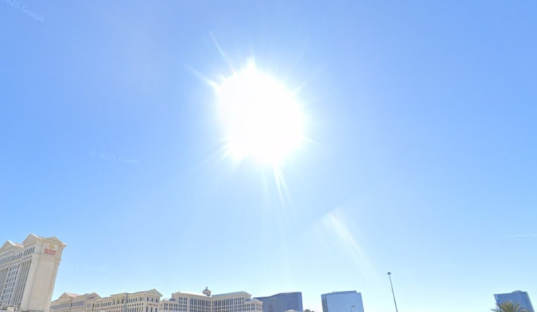
Las Vegas started off Saturday, May 30, on a deceptively mild note, with clear skies, temperatures in the upper 60s, and a light breeze out of the west. That calm morning is not sticking around for long: afternoon highs will push into the low 90s today, with the valley on track to crack the triple-digit mark early next week.
Afternoon And The Week Ahead
For Saturday, May 30, expect plenty of sun and a high near 91, warming to around 95 on Sunday, May 31. Overnight lows will hang in the low to mid 70s. By Monday, June 1, temperatures are forecast to climb to roughly 100F and peak near 102F 6103F TuesdayThursday, June 24, with little chance of rain, according to the National Weather Service.
Winds And Commutes
Winds are expected to stay on the lighter side across the valley, generally 28 mph in the afternoons, so road and air travel should be largely unaffected this weekend. A short burst of stronger gusts could kick up in nearby desert passes and parts of the western Mojave, but most valley commute routes should remain relatively calm.
Heat Safety
With daytime highs set to approach and then top 100F next week, the heat will ramp up quickly. Residents are urged to stay hydrated, move strenuous outdoor work to the cooler morning hours, and keep an eye on older neighbors and pets. Clark County opens daytime cooling stations during heat events; locations and hours are listed on the county page at Clark County. If you have outdoor plans or events on the calendar, think about shifting them earlier in the day or moving indoors, and keep an eye on updated forecasts as the heat builds.


