Clear, dry skies and about 70°F in Las Vegas this morning are a bit of a fake-out. A strong wind event is gearing up across the Las Vegas Valley this afternoon and is expected to roar through the overnight hours, bringing damaging gusts, blowing dust and travel headaches through Monday morning.
Afternoon Winds Pick Up
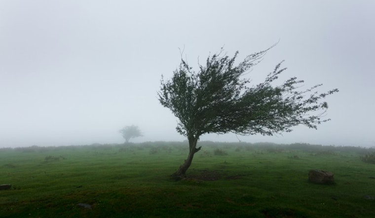
A High Wind Warning is in effect from 2 PM Sunday to 5 AM Monday for the Las Vegas Valley and nearby ranges. Forecasters expect southwest winds to shift northwest with sustained speeds of 25–35 mph and gusts of 50–60 mph, with isolated gusts to 70 mph possible. Officials are warning about the potential for downed trees and widespread power outages, according to the National Weather Service.
Boaters, Drivers and Dust
Patchy blowing dust may reduce visibility late this afternoon, and boaters on Lake Mead and other reservoirs should expect rough water with waves around 2–4 feet. NV Energy says crews are on standby and could implement proactive outages in higher terrain, and drivers should be prepared for difficult travel and strong crosswinds, as reported by FOX5.
How To Prepare
Tie down patio furniture, secure lightweight items and bring pets and loose objects indoors. Slow down on highways and give extra room to high‑profile vehicles, avoid stopping near trees or power lines, and if you see downed lines stay clear and call 911, steps recommended by the National Weather Service.
More From Hoodline
We ran a High Wind Watch on Friday; this story updates that watch to a warning with new timing and impacts. For the lead‑up to today’s event, see our wind machine cranks up coverage for background.


